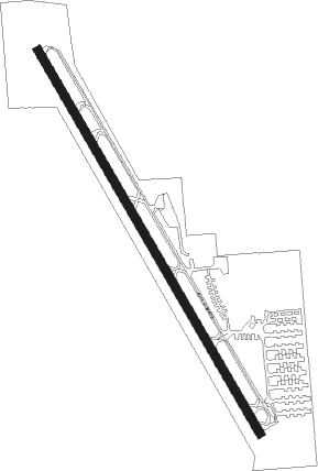
Clearwater - Clearwater Air Park
Airport details
| Country | United States of America |
| State | Florida |
| Region | K7 |
| Airspace | Jacksonville Ctr |
| Municipality | Clearwater |
| Elevation | 66ft (20m) |
| Timezone | GMT -5 |
| Coordinates | 27.97721, -82.75906 |
| Magnetic var | |
| Type | land |
| Available since | X-Plane v10.40 |
| ICAO code | KCLW |
| IATA code | CLW |
| FAA code | CLW |
Communication
| Clearwater Air Park CTAF/UNICOM | 123.000 |
| Clearwater Air Park TAMPA Approach/Departure | 125.300 |
Nearby Points of Interest:
Cleveland Street United States Post Office
-Mount Olive African Methodist Episcopal Church
-Old Pinellas County Courthouse
-J. O. Douglas House
-Harbor Oaks Residential District
-Donald Roebling Estate
-Louis Ducros House
-Willis S. Blatchley House
-Old Belleair Town Hall
-Andrews Memorial Chapel
-Ingleside
-Dunedin Isles Golf Club Golf Course
-Louis Johnson Building
-Safety Harbor Site
-Bay Pines Veterans Administration Home and Hospital Historic District
-Old Tarpon Springs City Hall
-Tarpon Springs Historic District
-E. R. Meres Sponge Packing House
-N. G. Arfaras Sponge Packing House
-Duchess
-George N. Cretekos
-Casa De Muchas Flores
-Casa Coe da Sol
-Kenwood Historic District
-Huggins-Stengel Field
Nearby beacons
| code | identifier | dist | bearing | frequency |
|---|---|---|---|---|
| PI | CAPOK(ST PETERSBURG-CLEARWATER NDB | 3.1 | 72° | 360 |
| PIE | SAINT PETERSBURG VORTAC | 5.7 | 133° | 116.40 |
| TP | COSME (TAMPA) NDB | 13.9 | 65° | 368 |
| MCF | MACDILL (TAMPA) TACAN | 14.7 | 115° | 111 |
| SRQ | SARASOTA VOR/DME | 35.7 | 161° | 117 |
| LAL | LAKELAND VORTAC | 39.5 | 89° | 116 |
Departure and arrival routes
| Transition altitude | 18000ft |
| Transition level | 18000ft |
| STAR starting points | distance | inbound heading | |
|---|---|---|---|
| ALL | |||
| BRDGE8 | 45.7 | 310° | |
Holding patterns
| STAR name | hold at | type | turn | heading* | altitude | leg | speed limit |
|---|---|---|---|---|---|---|---|
| BRDGE8 | BRDGE | VHF | right | 138 (318)° | < 17999ft | 1.0min timed | ICAO rules |
| *) magnetic outbound (inbound) holding course | |||||||
Disclaimer
The information on this website is not for real aviation. Use this data with the X-Plane flight simulator only! Data taken with kind consent from X-Plane 12 source code and data files. Content is subject to change without notice.