Chatham - Chatham Muni
Airport details
| Country | United States of America |
| State | Massachusetts |
| Region | K6 |
| Airspace | Boston Ctr |
| Municipality | Chatham |
| Elevation | 65ft (20m) |
| Timezone | GMT -5 |
| Coordinates | 41.68830, -69.98964 |
| Magnetic var | |
| Type | land |
| Available since | X-Plane v10.40 |
| ICAO code | KCQX |
| IATA code | n/a |
| FAA code | CQX |
Communication
| Chatham Muni ASOS | 135.875 |
| Chatham Muni CTAF/UNICOM | 122.800 |
| Chatham Muni CAPE Approach/Departure | 118.200 |
Nearby Points of Interest:
Louis Brandeis House
-Marconi-RCA Wireless Receiving Station
-Chatham station
-Port Royal House
-Eldredge Public Library
-Brick Block
-Mercelia Evelyn Eldridge Kelley House
-Old Village Historic District (Chatham, Massachusetts)
-Half Way House
-South Harwich Methodist Church
-Harwich Historic District
-Universalist Society Meetinghouse
-Nickerson Mansion
-Sea Call Farm
-Captain James Berry House
-Brewster Old King's Highway Historic District
-Stony Brook-Factory Village Historic District
-Collins Cottages Historic District
-Dillingham House
-Jacob Sears Memorial Library
-Nauset Archeological District
-Fort Hill Rural Historic District
-West Dennis Graded School
-Eastham Center Historic District
-South Yarmouth/Bass River Historic District
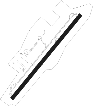
Runway info
| Runway 6 / 24 | ||
| length | 914m (2999ft) | |
| bearing | 52° / 232° | |
| width | 30m (100ft) | |
| surface | asphalt | |
Nearby beacons
| code | identifier | dist | bearing | frequency |
|---|---|---|---|---|
| CQX | NAUSET (CHATHAM) NDB | 0.2 | 28° | 279 |
| HY | BOGEY (HYANNIS) NDB | 9.7 | 277° | 342 |
| LFV | MARCONI (NORTH TRURO) VOR/DME | 19.8 | 352° | 114.70 |
| FMH | OTIS (FALMOUTH) TACAN | 23.5 | 267° | 115.80 |
| ACK | NANTUCKET VOR/DME | 24.4 | 185° | 116.20 |
| PVC | PROVINCETOWN NDB | 25.1 | 328° | 389 |
| MVY | MARTHA'S VINEYARD VOR/DME | 33 | 245° | 114.50 |
| BOS | BOSTON VOR/DME | 60 | 304° | 112.70 |
Instrument approach procedures
| runway | airway (heading) | route (dist, bearing) |
|---|---|---|
| RWNVB | ACK (5°) | ACK CEPUL (33mi, 32°) 3000ft UMANE (5mi, 306°) 2000ft |
| RWNVB | LFV (172°) | LFV PPICE (10mi, 128°) 3000ft UMANE (5mi, 126°) 2000ft |
| RWNVB | UMANE (232°) | UMANE 2000ft |
| RNAV | UMANE 2000ft NUNKE (6mi, 232°) 2000ft KCQX (6mi, 232°) 101ft (4516mi, 121°) 470ft CEPUL (4506mi, 301°) 3000ft CEPUL (turn) |
Disclaimer
The information on this website is not for real aviation. Use this data with the X-Plane flight simulator only! Data taken with kind consent from X-Plane 12 source code and data files. Content is subject to change without notice.