Corcoran
Airport details
| Country | United States of America |
| State | California |
| Region | |
| Airspace | Oakland Ctr |
| Municipality | Kings County |
| Elevation | 194ft (59m) |
| Timezone | GMT -8 |
| Coordinates | 36.10637, -119.59787 |
| Magnetic var | |
| Type | land |
| Available since | X-Plane v10.40 |
| ICAO code | KCRO |
| IATA code | CRO |
| FAA code | CRO |
Communication
| Corcoran CTAF | 122.900 |
Nearby Points of Interest:
Taoist Temple (Hanford, California)
-Kings County Courthouse
-The Pioneer
-Hyde House (Visalia, California)
-US Post Office-Visalia Town Center Station
-Bank of Italy
-Exeter Library
-The Forty Acres
-United States Post Office (Porterville, California)
-Zalud House
-Orosi Branch Library
-Fowler
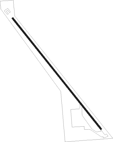
Runway info
| Runway 13 / 31 | ||
| length | 1005m (3297ft) | |
| bearing | 140° / 320° | |
| width | 12m (40ft) | |
| surface | asphalt | |
| displ threshold | 109m (358ft) / 86m (282ft) | |
| blast zone | 68m (223ft) / 54m (177ft) | |
Nearby beacons
| code | identifier | dist | bearing | frequency |
|---|---|---|---|---|
| VIS | VISALIA VOR/DME | 16.6 | 24° | 109.40 |
| NLC | NAVY LEMOORE TACAN | 22.8 | 303° | 113.30 |
| TTE | TULE VOR/DME | 30.3 | 109° | 109.20 |
| AVE | AVENAL VOR/DME | 33.2 | 220° | 117.10 |
| EHF | SHAFTER (BAKERSFIELD) VORTAC | 44.6 | 141° | 115.40 |
| CZQ | CLOVIS (FRESNO) VORTAC | 47.8 | 344° | 112.90 |
| FRA | FRIANT VORTAC | 59.9 | 0° | 115.60 |
Disclaimer
The information on this website is not for real aviation. Use this data with the X-Plane flight simulator only! Data taken with kind consent from X-Plane 12 source code and data files. Content is subject to change without notice.