Crossett - Zm Jack Stell Field
Airport details
| Country | United States of America |
| State | Arkansas |
| Region | K4 |
| Airspace | Memphis Ctr |
| Municipality | Ashley County |
| Elevation | 184ft (56m) |
| Timezone | GMT -6 |
| Coordinates | 33.17833, -91.88020 |
| Magnetic var | |
| Type | land |
| Available since | X-Plane v10.40 |
| ICAO code | KCRT |
| IATA code | CRT |
| FAA code | CRT |
Communication
| ZM Jack Stell Field CTAF/UNICOM | 123.000 |
Nearby Points of Interest:
Crossett Municipal Auditorium
-Crossett Post Office
-Crossett Municipal Building
-Hamburg Commercial Historic District
-Watson-Sawyer House
-Watson House (Hamburg, Arkansas)
-Hamburg Cemetery
-W.R. Bunckley House
-Parkdale Methodist Church
-Mt. Olive Rosenwald School
-John P. Fisher House
-Pugh House
-Dean House
-Portland United Methodist Church
-Naff House
-Champ Grubbs House
-Hermitage City Hall and Jail
-Adams-Leslie House
-Rose Theatre
-Morehouse Parish Courthouse
-Jerome Elementary School No. 22
-Jerome War Relocation Center
-Rough and Ready Cemetery
-Dual State Monument
-Garvin Cavaness House
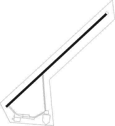
Runway info
| Runway 5 / 23 | ||
| length | 1528m (5013ft) | |
| bearing | 56° / 236° | |
| width | 23m (75ft) | |
| surface | asphalt | |
Nearby beacons
| code | identifier | dist | bearing | frequency |
|---|---|---|---|---|
| MON | MONTICELLO VOR/DME | 24.4 | 23° | 111.60 |
| BQP | BASTROP NDB | 25.4 | 180° | 329 |
| FWV | TRUXNO (FARMERVILLE) NDB | 32.9 | 232° | 379 |
| MLU | MONROE VORTAC | 40.4 | 193° | 117.20 |
| EL | LADOS (EL DORADO) NDB | 43 | 277° | 418 |
| ELD | EL DORADO VOR/DME | 43.6 | 275° | 115.50 |
| ML | SABAR (MONROE) NDB | 44.9 | 197° | 392 |
| MTQ | METCALF (GREENVILLE) NDB | 47.4 | 75° | 359 |
| ROQ | RUSTON NDB | 49.4 | 231° | 368 |
| GLH | GREENVILLE VOR/DME | 49.5 | 69° | 114.25 |
| TKH | TALLULAH (VICKSBURG/TALLULAH) NDB | 70.7 | 138° | 344 |
Instrument approach procedures
| runway | airway (heading) | route (dist, bearing) |
|---|---|---|
| RW23 | HAMPT (121°) | HAMPT TUPOY (39mi, 104°) 2000ft PEVOY (5mi, 137°) 2000ft |
| RW23 | PEVOY (237°) | PEVOY 2000ft |
| RW23 | ZIGAS (257°) | ZIGAS PEVOY (5mi, 317°) 2000ft |
| RNAV | PEVOY 2000ft LOCIK (6mi, 237°) 2000ft KCRT (6mi, 236°) 223ft (5500mi, 110°) 584ft PEVOY (5490mi, 290°) 2000ft PEVOY (turn) |
Disclaimer
The information on this website is not for real aviation. Use this data with the X-Plane flight simulator only! Data taken with kind consent from X-Plane 12 source code and data files. Content is subject to change without notice.