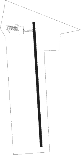
Corning - Corning Muni
Airport details
| Country | United States of America |
| State | Iowa |
| Region | K3 |
| Airspace | Minneapolis Ctr |
| Municipality | Corning |
| Elevation | 1270ft (387m) |
| Timezone | GMT -6 |
| Coordinates | 40.99413, -94.75503 |
| Magnetic var | |
| Type | land |
| Available since | X-Plane v10.40 |
| ICAO code | KCRZ |
| IATA code | n/a |
| FAA code | CRZ |
Communication
| Corning Muni CTAF | 122.900 |
Nearby Points of Interest:
Adams County Jail
-Corning Commercial Historic District
-Noah Odell House
-Josiah B. and Sara Moore House
-Nodaway River Bridge
-Lenox Round Barn
-Bedford Oil Company Station
-Taylor County Courthouse
-Bedford House
-Clarinda Carnegie Library
-Page County Courthouse
-Goldenrod Schoolhouse
-Alfred Hebard House
-Red Oak Firehouse and City Jail
-Red Oak Downtown Historic District
-Thos. D. Murphy Co. Factory and Power Plant
-Red Oak Public Library
-Chicago, Burlington Northern and Quincy Depot
-Montgomery County Courthouse
-Catalpa
-Warren Opera House Block and Hetherington Block
-Adair County Courthouse
-hotel greenfield
-Bedford Public Library
-Nishnabotna Ferry House
Nearby beacons
| code | identifier | dist | bearing | frequency |
|---|---|---|---|---|
| LMN | LAMONI VOR/DME | 43 | 117° | 116.70 |
| OVR | OMAHA VORTAC | 45.6 | 280° | 116.30 |
Instrument approach procedures
| runway | airway (heading) | route (dist, bearing) |
|---|---|---|
| RW18 | BRIDJ (234°) | BRIDJ GUNTE (25mi, 251°) 3000ft |
| RW18 | GUNTE (181°) | GUNTE 3000ft |
| RW18 | PSFIC (138°) | PSFIC GUNTE (12mi, 107°) 3000ft |
| RNAV | GUNTE 3000ft ATOPY (6mi, 181°) 3000ft KCRZ (5mi, 181°) 1314ft (5621mi, 113°) 1674ft GUNTE (5620mi, 293°) 3000ft GUNTE (turn) |
Disclaimer
The information on this website is not for real aviation. Use this data with the X-Plane flight simulator only! Data taken with kind consent from X-Plane 12 source code and data files. Content is subject to change without notice.
