Canton - Ingersoll
Airport details
| Country | United States of America |
| State | Illinois |
| Region | K5 |
| Airspace | Chicago Ctr |
| Municipality | Canton |
| Elevation | 684ft (208m) |
| Timezone | GMT -6 |
| Coordinates | 40.56908, -90.07484 |
| Magnetic var | |
| Type | land |
| Available since | X-Plane v10.40 |
| ICAO code | KCTK |
| IATA code | n/a |
| FAA code | CTK |
Communication
| Ingersoll AWOS | 122.800 |
| Ingersoll Unicom | 122.800 |
| Ingersoll PEORIA Approach | 124.675 |
| Ingersoll PEORIA Departure | 124.675 |
Nearby Points of Interest:
Parlin Library
-Ulysses G. Orendorff House
-Chicago, Burlington & Quincy Railroad Station
-Hiram Palmer House
-Oak Hill Cemetery
-Odd Fellows Opera Block
-Buckeye Bridge
-Metal Highway Bridges of Fulton County TR
-London Mills Bridge
-Pleasant Grove School
-Indian Ford Bridge
-Tartar's Ferry Bridge
-Rockwell Mound
-Havana Public Library
-Christ Church of Lower Kickapoo
-Peoria State Hospital
-Pekin Federal Building
-Tazewell County Courthouse
-Carl Herget Mansion
-Carithers Store Building
-West Bluff Historic District
-John C. Proctor Recreation Center
-Lincoln Branch Peoria Public Library
-Pettingill-Morron House
-Knox County Courthouse

Nearby beacons
| code | identifier | dist | bearing | frequency |
|---|---|---|---|---|
| PIA | PEORIA VORTAC | 14.4 | 69° | 115.20 |
| PI | TUNGG (PEORIA) NDB | 22 | 86° | 356 |
| JZY | MACOMB NDB | 22.3 | 264° | 251 |
| GBG | DME | 27.5 | 316° | 109.80 |
| BRL | BURLINGTON VOR/DME | 39.8 | 280° | 111.40 |
| AAA | ABRAHAM (LINCOLN) NDB | 41.7 | 119° | 329 |
| BDF | BRADFORD VORTAC | 41.8 | 40° | 114.70 |
| LQ | LICOL (SPRINGFIELD) NDB | 45 | 144° | 375 |
| SPI | SPINNER (SPRINGFIELD) VORTAC | 47.4 | 151° | 112.70 |
| IJX | DME | 48.1 | 192° | 108.60 |
| SP | HUSKK (SPRINGFIELD) NDB | 49.9 | 158° | 382 |
| CJ | CALDE (SPRINGFIELD) NDB | 51.5 | 148° | 240 |
| MZV | MOLINE VOR/DME | 51.8 | 323° | 114.40 |
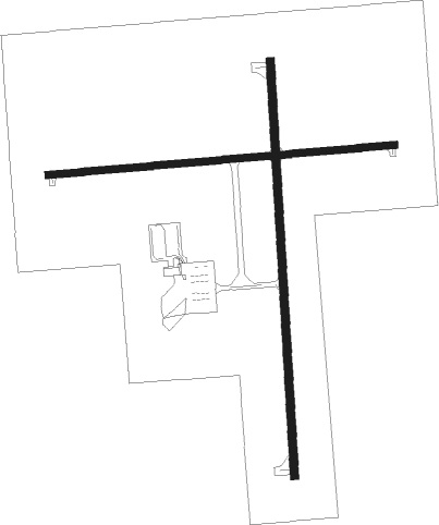
Instrument approach procedures
| runway | airway (heading) | route (dist, bearing) |
|---|---|---|
| RW18 | LUYIL (182°) | LUYIL 2500ft |
| RW18 | PIA (249°) | PIA TULYU (7mi, 315°) 2500ft LUYIL (8mi, 271°) 2500ft |
| RW18 | VICKS (166°) | VICKS VICGU (8mi, 181°) 2500ft LUYIL (6mi, 119°) 2500ft |
| RNAV | LUYIL 2500ft NUVCI (7mi, 182°) 2500ft HUGSU (3mi, 182°) 1640ft KCTK (3mi, 182°) 722ft (5409mi, 114°) 949ft CETRU (5409mi, 294°) 2500ft CETRU (turn) | |
| RW36 | BRL (100°) | BRL CANUT (39mi, 118°) 2500ft CETRU (7mi, 91°) 2500ft |
| RW36 | CETRU (1°) | CETRU 2500ft |
| RW36 | PIA (249°) | PIA LOPIY (20mi, 192°) 2500ft CETRU (10mi, 271°) 2500ft |
| RNAV | CETRU 2500ft JITID (7mi, 2°) 2500ft KCTK (6mi, 1°) 710ft (5409mi, 114°) 930ft LUYIL (5408mi, 294°) 2500ft LUYIL (turn) |
Disclaimer
The information on this website is not for real aviation. Use this data with the X-Plane flight simulator only! Data taken with kind consent from X-Plane 12 source code and data files. Content is subject to change without notice.