Corvallis - Corvallis Muni
Airport details
| Country | United States of America |
| State | Oregon |
| Region | K1 |
| Airspace | Seattle Ctr |
| Municipality | Benton County |
| Elevation | 246ft (75m) |
| Timezone | GMT -8 |
| Coordinates | 44.49711, -123.28953 |
| Magnetic var | |
| Type | land |
| Available since | X-Plane v10.40 |
| ICAO code | KCVO |
| IATA code | CVO |
| FAA code | CVO |
Communication
| Corvallis Muni AWOS | 135.775 |
| Corvallis Muni CTAF/UNICOM | 123.000 |
| Corvallis Muni CASCADE Approach/Departure | 127.500 |
Approach frequencies
| ILS-cat-I | RW17 | 111.9 | 18.00mi |
| 3° GS | RW17 | 111.9 | 18.00mi |
Nearby Points of Interest:
Avery–Helm Historic District
-Willamette Valley and Coast Railroad Depot
-Poultry Building and Incubator House
-Charles and Ibby Whiteside House
-John Fiechter House
-Corvallis Arts Center
-Lewis G. Kline Building
-First Congregational Church
-Benton County State Bank Building
-Charles Gaylord House
-Community Hall
-Benton Hotel
-Benton County Courthouse
-J. R. Bryson House
-Lewis G. Kline House
-John Bexell House
-J. Leo Fairbanks House
-College Hill West Historic District
-Elias Woodward House
-George W. Bethers House
-George Taylor House
-Jesse H. Caton House
-Dr. Ralph Lyman Bosworth House
-Willamette Floodplain
-United Presbyterian Church of Shedd
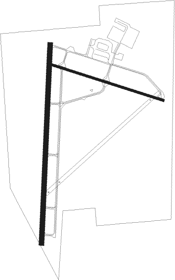
Runway info
Runway 17 / 35  | ||
| length | 1829m (6001ft) | |
| bearing | 190° / 10° | |
| width | 46m (150ft) | |
| surface | asphalt | |
| displ threshold | 0m (0ft) / 67m (220ft) | |
| Runway 9 / 27 | ||
| length | 1074m (3524ft) | |
| bearing | 106° / 286° | |
| width | 23m (75ft) | |
| surface | asphalt | |
| displ threshold | 0m (0ft) / 58m (190ft) | |
| blast zone | 255m (837ft) / 0m (0ft) | |
Nearby beacons
| code | identifier | dist | bearing | frequency |
|---|---|---|---|---|
| CVO | CORVALLIS VOR/DME | 0.2 | 301° | 115.40 |
| LWG | LEWISBURG (CORVALLIS) NDB | 7 | 9° | 225 |
| EUG | EUGENE VORTAC | 22.7 | 170° | 112.90 |
| SL | TURNO (SALEM) NDB | 25.5 | 44° | 266 |
| ONP | NEWPORT VORTAC | 33.3 | 276° | 117.10 |
| UBG | NEWBERG VOR/DME | 53 | 20° | 117.40 |
Instrument approach procedures
| runway | airway (heading) | route (dist, bearing) |
|---|---|---|
| RW17 | ADLOW (199°) | ADLOW INNOP (4mi, 230°) 3700ft |
| RW17 | CRAAF (167°) | CRAAF INNOP (5mi, 117°) 3700ft |
| RW17 | CVO (121°) | CVO INNOP (13mi, 10°) 3800ft INNOP (turn) 3700ft |
| RW17 | MAGOT (237°) | MAGOT INNOP (11mi, 279°) 3700ft INNOP (turn) 3700ft |
| RNAV | INNOP 3700ft EGBEW (4mi, 190°) 2900ft ACVOL (2mi, 190°) 2400ft CAYJU (4mi, 190°) 1080ft KCVO (3mi, 187°) 290ft (6789mi, 110°) 1100ft INNOP (6783mi, 290°) 3700ft INNOP (turn) 3700ft | |
| RW35 | CVO (121°) | CVO DERAY (12mi, 189°) 3700ft DERAY (turn) 3700ft |
| RW35 | EUG (350°) | EUG DERAY (12mi, 331°) 3700ft |
| RNAV | DERAY 3700ft WENKA (4mi, 10°) 2500ft ACOTY (2mi, 10°) 1900ft CESDO (3mi, 10°) 1100ft KCVO (3mi, 12°) 300ft (6789mi, 110°) 1000ft DERAY (6796mi, 290°) 4000ft DERAY (turn) 4000ft |
Disclaimer
The information on this website is not for real aviation. Use this data with the X-Plane flight simulator only! Data taken with kind consent from X-Plane 12 source code and data files. Content is subject to change without notice.