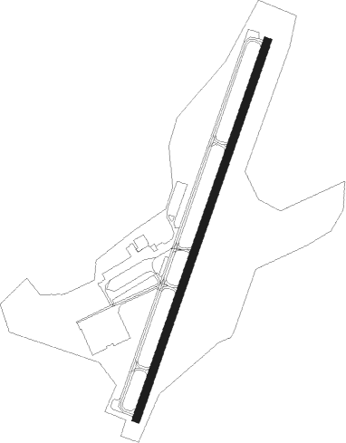
Endicott - Tri-cities
Airport details
| Country | United States of America |
| State | New York |
| Region | K6 |
| Airspace | New York Ctr |
| Municipality | Village of Endicott |
| Elevation | 833ft (254m) |
| Timezone | GMT -5 |
| Coordinates | 42.07853, -76.09634 |
| Magnetic var | |
| Type | land |
| Available since | X-Plane v10.40 |
| ICAO code | KCZG |
| IATA code | CZG |
| FAA code | CZG |
Communication
| Tri-Cities AWOS 3 | 119.075 |
| Tri-Cities CTAF/UNICOM | 122.800 |
Nearby Points of Interest:
West Endicott Hose Company No. 1
-Drovers Inn and Round Family Residence
-Vestal Central School
-United States Post Office
-Patterson-Hooper Family Cemetery
-Washingtonian Hall
-Hiawatha Farm
-Goodwill Theatre
-James C. Beecher House
-Your Home Library
-Maine Central School
-Endicott-Johnson Medical Clinic
-Owego Central Historic District
-Abel Bennett Tract Historic District
-Tioga County Courthouse
-Gen. Edward F. Jones House
-Building at 171–177 Clinton Street
-Jonas M. Kilmer House
-Lipe Farm
-J. Stuart Wells House
-John T. Whitmore House
-John Settle Farm
-Roberson Mansion
Nearby beacons
| code | identifier | dist | bearing | frequency |
|---|---|---|---|---|
| CFB | BINGHAMTON VOR/DME | 5 | 333° | 112.20 |
| IT | VRNAH (ITHACA) NDB | 24.3 | 322° | 266 |
| ITH | DME | 29.7 | 319° | 111.80 |
| ALP | ALPINE (ELMIRA) NDB | 31.2 | 283° | 245 |
| HNK | HANCOCK VOR/DME | 34.7 | 91° | 116.80 |
| ULW | ELMIRA VOR/DME | 41.3 | 271° | 109.65 |
| GGT | GEORGETOWN TACAN | 44.3 | 21° | 117.80 |
| RKA | ROCKDALE VOR/DME | 44.6 | 66° | 112.60 |
| LVZ | WILKES-BARRE VORTAC | 51.7 | 153° | 111.60 |
| FQM | WILLIAMSPORT VOR/DME | 53.8 | 223° | 114.40 |
| PYA | PENN YAN NDB | 54.4 | 301° | 260 |
| UCA | UTICA TACAN | 70.2 | 45° | 111.20 |
Instrument approach procedures
| runway | airway (heading) | route (dist, bearing) |
|---|---|---|
| RW03 | CFB (153°) | CFB HEPVO (18mi, 196°) 4200ft HEPVO (turn) 3400ft |
| RW03 | NOSEE (333°) | NOSEE HEPVO (14mi, 289°) 3400ft |
| RW03 | OKZUS (53°) | OKZUS HEPVO (5mi, 110°) 3400ft |
| RNAV | HEPVO 3400ft GOKYI (6mi, 30°) 3400ft FOMPI (2mi, 30°) 2580ft KCZG (6mi, 30°) 870ft (4788mi, 119°) 1233ft HEPVO (4792mi, 299°) 3400ft HEPVO (turn) | |
| RW21 | CFB (153°) | CFB UREZI (11mi, 52°) 3900ft UREZI (turn) 3300ft |
| RW21 | GROWS (240°) | GROWS UREZI (12mi, 265°) 3300ft |
| RW21 | SOCOP (178°) | SOCOP UREZI (8mi, 120°) 3300ft |
| RNAV | UREZI 3300ft IRKUH (6mi, 211°) 3200ft LOVIW (3mi, 211°) 2120ft KCZG (4mi, 211°) 866ft (4788mi, 119°) 1233ft HEPVO (4792mi, 299°) 3400ft HEPVO (turn) |
Disclaimer
The information on this website is not for real aviation. Use this data with the X-Plane flight simulator only! Data taken with kind consent from X-Plane 12 source code and data files. Content is subject to change without notice.