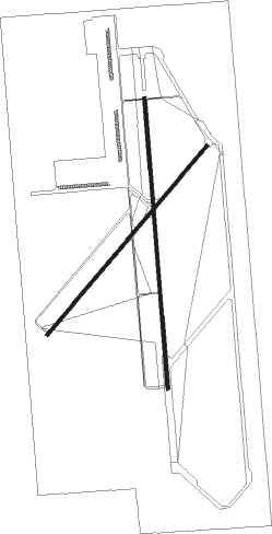
Dalhart - Dalhart Muni
Airport details
| Country | United States of America |
| State | Texas |
| Region | K4 |
| Airspace | Albuquerque Ctr |
| Municipality | Hartley County |
| Elevation | 3991ft (1216m) |
| Timezone | GMT -6 |
| Coordinates | 36.02247, -102.54739 |
| Magnetic var | |
| Type | land |
| Available since | X-Plane v10.40 |
| ICAO code | KDHT |
| IATA code | DHT |
| FAA code | DHT |
Communication
| Dalhart Muni ASOS | 134.075 |
| Dalhart Muni CTAF/UNICOM | 122.950 |
Nearby Points of Interest:
Dallam County Courthouse
-Amistad Gymnasium

Nearby beacons
| code | identifier | dist | bearing | frequency |
|---|---|---|---|---|
| DHT | DALHART VORTAC | 4.1 | 2° | 112 |
| PNH | PANHANDLE VORTAC | 62.8 | 133° | 116.60 |
| AM | PANDE (AMARILLO) NDB | 63.8 | 140° | 251 |
Instrument approach procedures
| runway | airway (heading) | route (dist, bearing) |
|---|---|---|
| RW17 | COYAG (145°) | COYAG UMGEH (13mi, 119°) 6000ft |
| RW17 | DHT (182°) | DHT UMGEH (8mi, 359°) 6000ft UMGEH (turn) 6000ft |
| RW17 | OXUTE (231°) | OXUTE UMGEH (16mi, 259°) 6000ft |
| RNAV | UMGEH 6000ft ZAPAX (7mi, 180°) 5500ft YULUY (3mi, 180°) 4540ft KDHT (2mi, 181°) 4041ft (6013mi, 109°) 4241ft WIRNU (6014mi, 289°) 6000ft WIRNU (turn) | |
| RW35 | DHT (182°) | DHT WIRNU (16mi, 180°) 6000ft WIRNU (turn) 6000ft |
| RW35 | EXELL (310°) | EXELL YORCU (18mi, 291°) 6000ft WIRNU (7mi, 295°) 6000ft |
| RW35 | WIXIX (77°) | WIXIX PEZIB (19mi, 115°) 6000ft WIRNU (7mi, 65°) 6000ft |
| RNAV | WIRNU 6000ft JOKTO (6mi, 360°) 5700ft ONIVY (3mi, 360°) 4720ft KDHT (3mi, 359°) 4032ft (6013mi, 109°) 4237ft UMGEH (6011mi, 289°) 6000ft UMGEH (turn) |
Disclaimer
The information on this website is not for real aviation. Use this data with the X-Plane flight simulator only! Data taken with kind consent from X-Plane 12 source code and data files. Content is subject to change without notice.