Dillon
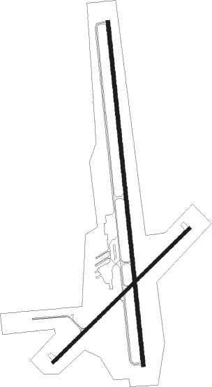
Airport details
| Country | United States of America |
| State | Montana |
| Region | K1 |
| Airspace | Salt Lake City Ctr |
| Municipality | Beaverhead County |
| Elevation | 5241ft (1597m) |
| Timezone | GMT -7 |
| Coordinates | 45.25536, -112.55250 |
| Magnetic var | |
| Type | land |
| Available since | X-Plane v10.40 |
| ICAO code | KDLN |
| IATA code | DLN |
| FAA code | DLN |
Communication
| Dillon ASOS | 135.225 |
| Dillon CTAF/UNICOM | 122.800 |
Nearby Points of Interest:
Martin Barrett House
-Ferris-Hermsmeyer-Fenton Ranch
-Doncaster Round Barn
-Union City, Montana

Nearby beacons
| code | identifier | dist | bearing | frequency |
|---|---|---|---|---|
| DLN | DILLON VOR/DME | 0.4 | 142° | 113 |
| EKS | ENNIS NDB | 38 | 89° | 286 |
| HIA | WHITEHALL VOR/DME | 39.8 | 32° | 113.70 |
| CPN | COPPERTOWN (BUTTE) VOR/DME | 47.3 | 346° | 111.60 |
Instrument approach procedures
| runway | airway (heading) | route (dist, bearing) |
|---|---|---|
| RW17 | HIA (212°) | HIA SAZMI (21mi, 212°) 9400ft CUSIF (9mi, 238°) 7500ft |
| RW17 | JOXIT (261°) | JOXIT OMEXE (35mi, 276°) 12900ft SAZMI (7mi, 275°) 10600ft CUSIF (9mi, 238°) 7500ft |
| RNAV | CUSIF 7500ft NACCI (6mi, 199°) 6800ft KDLN (6mi, 178°) 5196ft (6346mi, 112°) 5800ft SAZMI (6333mi, 292°) HIA (21mi, 32°) 10600ft HIA (turn) | |
| RW35 | OSURE (81°) | OSURE DUYES (12mi, 116°) 11600ft FESLO (9mi, 78°) 8800ft |
| RW35 | PUFFS (322°) | PUFFS WEMKO (19mi, 287°) 12100ft IDOME (25mi, 289°) 12100ft DUYES (15mi, 360°) 11600ft FESLO (9mi, 78°) 8800ft |
| RW35 | UNEPE (41°) | UNEPE PARUE (7mi, 45°) 13000ft IDOME (12mi, 45°) 12100ft DUYES (15mi, 360°) 11600ft FESLO (9mi, 78°) 8800ft |
| RNAV | FESLO 8800ft AKRAH (2mi, 58°) 8100ft RICOV (4mi, 58°) 6900ft VUBBU (2mi, 25°) 6140ft KEYET (2mi, 25°) 5432ft (6346mi, 112°) 5600ft BLENI (6342mi, 292°) HIA (34mi, 33°) 11000ft HIA (turn) |
Disclaimer
The information on this website is not for real aviation. Use this data with the X-Plane flight simulator only! Data taken with kind consent from X-Plane 12 source code and data files. Content is subject to change without notice.