Delano - Delano Municipal
Airport details
| Country | United States of America |
| State | California |
| Region | K2 |
| Airspace | Los Angeles Ctr |
| Municipality | Delano |
| Elevation | 312ft (95m) |
| Timezone | GMT -8 |
| Coordinates | 35.74556, -119.23650 |
| Magnetic var | |
| Type | land |
| Available since | X-Plane v10.40 |
| ICAO code | KDLO |
| IATA code | n/a |
| FAA code | DLO |
Communication
| Delano Municipal AWOS 3 | 119.550 |
| Delano Municipal CTAF/UNICOM | 122.800 |
| Delano Municipal BAKERSFIELD Approach/Departure | 118.900 |
Nearby Points of Interest:
The Forty Acres
-Wasco Union High School
-Shafter Research Station
-Santa Fe Passenger and Freight Depot
-United States Post Office (Porterville, California)
-Zalud House
-Jastro Building
-Tevis Block
-Bakersfield California Building
-Baker Branch Library
-Weedpatch Camp
-The Pioneer
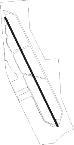
Runway info
| Runway 14 / 32 | ||
| length | 1728m (5669ft) | |
| bearing | 154° / 334° | |
| width | 23m (75ft) | |
| surface | asphalt | |
| displ threshold | 497m (1631ft) / 0m (0ft) | |
| blast zone | 107m (351ft) / 46m (151ft) | |
Nearby beacons
| code | identifier | dist | bearing | frequency |
|---|---|---|---|---|
| TTE | TULE VOR/DME | 14.5 | 52° | 109.20 |
| EHF | SHAFTER (BAKERSFIELD) VORTAC | 17 | 152° | 115.40 |
| AVE | AVENAL VOR/DME | 36.6 | 262° | 117.10 |
| VIS | VISALIA VOR/DME | 39.2 | 338° | 109.40 |
| FLW | FELLOWS VOR/DME | 49.8 | 224° | 117.50 |
| NLC | NAVY LEMOORE TACAN | 50.4 | 309° | 113.30 |
| GMN | GORMAN VORTAC | 59.4 | 158° | 116.10 |
Disclaimer
The information on this website is not for real aviation. Use this data with the X-Plane flight simulator only! Data taken with kind consent from X-Plane 12 source code and data files. Content is subject to change without notice.