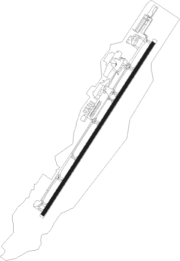
Durango - Durango La Plata Co
Airport details
| Country | United States of America |
| State | Colorado |
| Region | K2 |
| Airspace | Denver Ctr |
| Municipality | La Plata County |
| Elevation | 6685ft (2038m) |
| Timezone | GMT -7 |
| Coordinates | 37.15153, -107.75378 |
| Magnetic var | |
| Type | land |
| Available since | X-Plane v10.40 |
| ICAO code | KDRO |
| IATA code | DRO |
| FAA code | DRO |
Communication
| Durango La Plata Co ASOS | 120.625 |
| Durango La Plata Co CTAF/UNICOM | 122.800 |
Approach frequencies
| ILS-cat-I | RW03 | 109.1 | 18.00mi |
| 3° GS | RW03 | 109.1 | 18.00mi |
Nearby Points of Interest:
Main Avenue Historic District
-Durango High School
-Durango and Silverton Narrow Gauge Railroad
-Aztec Ruins Administration Building-Museum
-Denver and Rio Grande Western Railway Depot
-Aztec Main Street Historic District
-Engleman-Thomas Building
-American Hotel
-Frances Canyon Ruin
-Bauer Bank Block
-Mancos Theatre
Nearby beacons
| code | identifier | dist | bearing | frequency |
|---|---|---|---|---|
| DRO | DURANGO VOR/DME | 0.2 | 67° | 116.55 |
| RSK | RATTLESNAKE (FARMINGTON) VORTAC | 29.3 | 221° | 115.30 |
| CEZ | CORTEZ VOR/DME | 41.1 | 286° | 108.40 |
| ETL | CONES (TELLURIDE) VOR/DME | 58.5 | 330° | 110.20 |
Instrument approach procedures
| runway | airway (heading) | route (dist, bearing) |
|---|---|---|
| RW03 | RIZAL (73°) | RIZAL HINDY (12mi, 102°) 9000ft |
| RW03 | RSK (41°) | RSK HINDY (16mi, 38°) 9000ft |
| RW03 | TURLY (2°) | TURLY HINDY (14mi, 322°) 9000ft |
| RNAV | HINDY 9000ft JUBEP (6mi, 44°) 8800ft WAVGI (4mi, 44°) 7400ft KDRO (3mi, 44°) 6675ft (6250mi, 109°) 7500ft RESER (6240mi, 289°) 10200ft RESER (turn) | |
| RW21 | BBRTA (286°) | BBRTA NICCC (15mi, 326°) 13700ft KRSSE (11mi, 299°) 11000ft |
| RW21 | JIIIM (259°) | JIIIM NICCC (10mi, 252°) 13700ft KRSSE (11mi, 299°) 11000ft |
| RW21 | RESER (312°) | RESER NICCC (19mi, 25°) 13700ft KRSSE (11mi, 299°) 11000ft |
| RNAV | KRSSE 11000ft CADNC (4mi, 241°) 9700ft MATTU (3mi, 241°) 8800ft KUPRR (2mi, 227°) 8000ft STENG (1mi, 227°) 7540ft KDRO (3mi, 226°) 6740ft (6250mi, 109°) 7019ft ELLLL (6258mi, 289°) RIZAL (14mi, 270°) 11000ft RIZAL (turn) |
Disclaimer
The information on this website is not for real aviation. Use this data with the X-Plane flight simulator only! Data taken with kind consent from X-Plane 12 source code and data files. Content is subject to change without notice.
