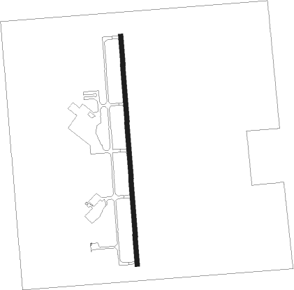
Durant - Eaker Fld
Airport details
| Country | United States of America |
| State | Oklahoma |
| Region | K4 |
| Airspace | Ft Worth Ctr |
| Municipality | Durant |
| Elevation | 698ft (213m) |
| Timezone | GMT -6 |
| Coordinates | 33.94227, -96.39453 |
| Magnetic var | |
| Type | land |
| Available since | X-Plane v10.40 |
| ICAO code | KDUA |
| IATA code | DUA |
| FAA code | DUA |
Communication
| Eaker Fld AWOS 3 | 124.175 |
| Eaker Fld CTAF/UNICOM | 122.800 |
Nearby Points of Interest:
Robert E. Lee School
-Durant Downtown Historic District
-Bryan County Courthouse
-Oklahoma Presbyterian College
-State Highway No. 78 Bridge at the Red River
-Marshall County Courthouse
-Paul Brown Federal Building and United States Courthouse
-Sam Rayburn House Museum
-First Methodist Church Building
-Masonic Temple
Nearby beacons
| code | identifier | dist | bearing | frequency |
|---|---|---|---|---|
| URH | (DURANT) DME | 0.1 | 55° | 114.30 |
| DNI | DENISON (SHERMAN-DENISON) NDB | 15.3 | 247° | 341 |
| BYP | BONHAM VORTAC | 25.5 | 158° | 114.60 |
| AI | ADDMO (ARDMORE) NDB | 31.9 | 298° | 400 |
| ADM | ARDMORE VORTAC | 41.7 | 289° | 116.70 |
| GV | MAJOR (GREENVILLE) NDB | 50 | 157° | 201 |
| PRX | PARIS VOR/DME | 53 | 113° | 113.60 |
| MJF | ARVILLA (GREENVILLE) TACAN | 55.1 | 159° | 109.60 |
| DT | PINCK (DENTON) NDB | 56.3 | 231° | 257 |
| SLR | SULPHUR SPRINGS VOR/DME | 61.7 | 131° | 109 |
| MLC | MCALESTER TACAN | 62.3 | 34° | 112 |
Instrument approach procedures
| runway | airway (heading) | route (dist, bearing) |
|---|---|---|
| RW17 | JETBI (180°) | JETBI 2500ft |
| RNAV | JETBI 2500ft HELRA (6mi, 180°) 2500ft KDUA (6mi, 180°) 742ft (5724mi, 109°) 899ft ZEGRA (5724mi, 289°) 2500ft ZEGRA (turn) | |
| RW35 | ZEGRA (1°) | ZEGRA 2500ft |
| RNAV | ZEGRA 2500ft WOVAM (6mi, 0°) 2500ft PAMMI (3mi, 0°) 1460ft KDUA (3mi, 1°) 736ft (5724mi, 109°) 894ft JETBI (5723mi, 290°) 2500ft JETBI (turn) |
Disclaimer
The information on this website is not for real aviation. Use this data with the X-Plane flight simulator only! Data taken with kind consent from X-Plane 12 source code and data files. Content is subject to change without notice.