Dubois - Dubois Muni
Airport details
| Country | United States of America |
| State | Wyoming |
| Region | K1 |
| Airspace | Salt Lake City Ctr |
| Municipality | Fremont County |
| Elevation | 7291ft (2222m) |
| Timezone | GMT -7 |
| Coordinates | 43.54836, -109.69025 |
| Magnetic var | |
| Type | land |
| Available since | X-Plane v10.40 |
| ICAO code | KDUB |
| IATA code | n/a |
| FAA code | n/a |
Communication
| Dubois Muni AWOS 3 | 118.275 |
| Dubois Muni CTAF | 122.900 |
Nearby Points of Interest:
ELS Bridge over Big Wind River
-Torrey Lake Historic District
-Union Pass
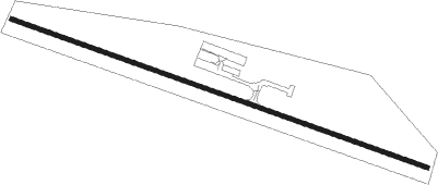
Runway info
| Runway 10 / 28 | ||
| length | 1800m (5906ft) | |
| bearing | 108° / 288° | |
| width | 18m (60ft) | |
| surface | asphalt | |
| displ threshold | 195m (640ft) / 44m (144ft) | |
Nearby beacons
| code | identifier | dist | bearing | frequency |
|---|---|---|---|---|
| DNW | DUNOIR VOR/DME | 32.6 | 293° | 117.20 |
| PNA | WENZ (PINEDALE) NDB | 45.6 | 189° | 392 |
| BPI | BIG PINEY VOR/DME | 61 | 203° | 116.50 |
Disclaimer
The information on this website is not for real aviation. Use this data with the X-Plane flight simulator only! Data taken with kind consent from X-Plane 12 source code and data files. Content is subject to change without notice.