Douglas Bisbee - Bisbee Douglas Intl
Airport details
| Country | United States of America |
| State | Arizona |
| Region | K2 |
| Airspace | Albuquerque Ctr |
| Municipality | Cochise County |
| Elevation | 4151ft (1265m) |
| Timezone | GMT -7 |
| Coordinates | 31.46894, -109.60375 |
| Magnetic var | |
| Type | land |
| Available since | X-Plane v10.40 |
| ICAO code | KDUG |
| IATA code | DUG |
| FAA code | DUG |
Communication
| Bisbee Douglas Intl ASOS | 119.275 |
| Bisbee Douglas Intl CTAF/UNICOM | 123.000 |
Nearby Points of Interest:
Grand Theatre
-El Paso and Southwestern Railroad YMCA
-United States Post Office and Customs House–Douglas Main
-Double Adobe Site
-Douglas Municipal Airport
-Phelps Dodge General Office Building
-Bisbee Woman's Club Clubhouse
-St. Patrick's Roman Catholic Church
-Naco Border Station
-Sacred Heart Church
-Tombstone Historic District
-Tombstone Courthouse State Historic Park
-Kinjockity Ranch
-Portal Ranger Station

Nearby beacons
| code | identifier | dist | bearing | frequency |
|---|---|---|---|---|
| DUG | DOUGLAS VORTAC | 0.2 | 25° | 108.80 |
| ARH | FORT HUACHUCA TACAN | 38.2 | 279° | 111.60 |
| FHU | LIBBY (FT HUACHUCA) VOR/DME | 39.1 | 279° | 113.60 |
| SSO | SAN SIMON VORTAC | 51.1 | 23° | 115.40 |
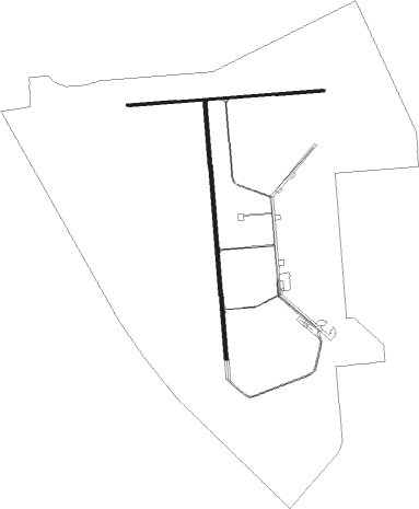
Instrument approach procedures
| runway | airway (heading) | route (dist, bearing) |
|---|---|---|
| RW17 | CAYLA (116°) | CAYLA TONUC (10mi, 92°) 9500ft EPECE (10mi, 92°) 6700ft |
| RW17 | NOCHI (165°) | NOCHI EPECE (23mi, 161°) 6700ft |
| RNAV | EPECE 6700ft JAXIG (7mi, 168°) 5700ft CUPAK (2mi, 180°) 5000ft KDUG (3mi, 179°) 4178ft (6404mi, 106°) 5100ft NOCHI (6405mi, 286°) 11000ft NOCHI (turn) |
Disclaimer
The information on this website is not for real aviation. Use this data with the X-Plane flight simulator only! Data taken with kind consent from X-Plane 12 source code and data files. Content is subject to change without notice.