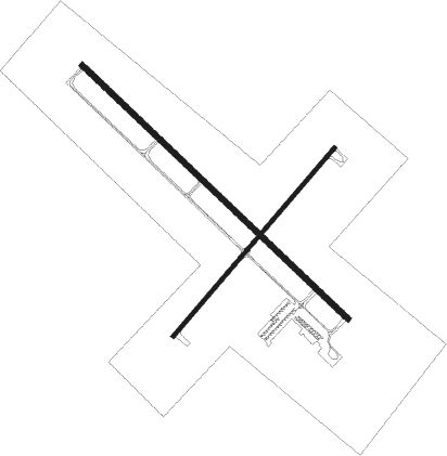
Devils Lake - Devils Lake Regl
Airport details
| Country | United States of America |
| State | North Dakota |
| Region | K3 |
| Airspace | Minneapolis Ctr |
| Municipality | Devils Lake |
| Elevation | 1455ft (443m) |
| Timezone | GMT -6 |
| Coordinates | 48.11658, -98.91000 |
| Magnetic var | |
| Type | land |
| Available since | X-Plane v10.32 |
| ICAO code | KDVL |
| IATA code | DVL |
| FAA code | DVL |
Communication
| Devils Lake Regl AWOS 3 | 125.875 |
| Devils Lake Regl CTAF/UNICOM | 122.800 |
Approach frequencies
| ILS-cat-I | RW31 | 108.7 | 18.00mi |
| 3° GS | RW31 | 108.7 | 18.00mi |
Nearby Points of Interest:
Central High School
-Devils Lake Carnegie Library
-Bangs-Wineman Block
-Ramsey County Sheriff's House
-Locke Block
-Westminster Presbyterian Church
-U.S. Post Office and Courthouse
-St. Mary's Academy
-Devils Lake Masonic Temple
-Benson County Courthouse
-Tofthagen Library and Museum
-Towner County Courthouse

Nearby beacons
| code | identifier | dist | bearing | frequency |
|---|---|---|---|---|
| DVL | DEVILS LAKE VOR/DME | 0.1 | 241° | 114.75 |
Instrument approach procedures
| runway | airway (heading) | route (dist, bearing) |
|---|---|---|
| RW03 | ZIKID (56°) | ZIKID 3400ft |
| RNAV | ZIKID 3400ft TOTRE (7mi, 56°) 3200ft CCREL (4mi, 56°) 2040ft KDVL (2mi, 53°) 1500ft (5762mi, 116°) 1700ft ZEVAS (5752mi, 296°) 3400ft ZEVAS (turn) | |
| RW13 | KRAMR (127°) | KRAMR 3400ft |
| RNAV | KRAMR 3400ft GWALT (7mi, 127°) 3100ft UQEKO (3mi, 127°) 2060ft KDVL (2mi, 127°) 1520ft (5762mi, 116°) 1720ft GRETE (5754mi, 296°) 3400ft GRETE (turn) | |
| RW21 | ZEVAS (237°) | ZEVAS 3400ft |
| RNAV | ZEVAS 3400ft IJEDA (7mi, 236°) 3000ft HINEX (3mi, 236°) 2120ft KDVL (2mi, 239°) 1491ft (5762mi, 116°) 1691ft ZIKID (5772mi, 296°) 3400ft ZIKID (turn) | |
| RW31 | GRETE (307°) | GRETE 3400ft |
| RNAV | GRETE 3400ft WOVED (7mi, 307°) 3200ft KDVL (6mi, 307°) 1487ft (5762mi, 116°) 1643ft KRAMR (5769mi, 296°) 3400ft KRAMR (turn) |
Disclaimer
The information on this website is not for real aviation. Use this data with the X-Plane flight simulator only! Data taken with kind consent from X-Plane 12 source code and data files. Content is subject to change without notice.