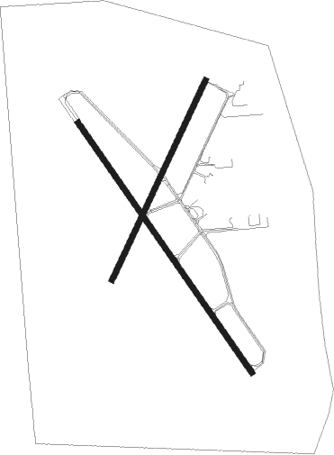
Davenport - Davenport Muni
Airport details
| Country | United States of America |
| State | Iowa |
| Region | K3 |
| Airspace | Chicago Ctr |
| Municipality | Davenport |
| Elevation | 751ft (229m) |
| Timezone | GMT -6 |
| Coordinates | 41.61028, -90.58836 |
| Magnetic var | |
| Type | land |
| Available since | X-Plane v10.40 |
| ICAO code | KDVN |
| IATA code | DVN |
| FAA code | DVN |
Communication
| Davenport Muni ASOS | 120.175 |
| Davenport Muni CTAF/UNICOM | 123.000 |
Approach frequencies
| ILS-cat-I | RW15 | 109.1 | 18.00mi |
| 3° GS | RW15 | 109.1 | 18.00mi |
Nearby Points of Interest:
John Littig House
-Marie Clare Dessaint House
-Eldridge Turn-Halle
-Collins House (Davenport, Iowa)
-Vander Veer Park Historic District
-Outing Club
-Charles Grilk House
-William T. Goodrich House
-Ambrose Hall
-Finley Guy Building
-Leon Bismark Beiderbecke House
-John Lueschen House
-Rowhouses at 702-712 Kirkwood Boulevard
-School Number 6
-Alexander Brownlie House
-Oscar C. Woods House
-Edward C. Roberts House
-Northwest Davenport Turner Society Hall
-Northwest Davenport Savings Bank
-F.H. Miller House
-Arthur Ebeling House
-John W. Ballard House
-Taylor School
-Ball-Waterman House
-Thomas Murray House

Nearby beacons
| code | identifier | dist | bearing | frequency |
|---|---|---|---|---|
| CVA | DAVENPORT VORTAC | 7.5 | 47° | 113.80 |
| FN | HILLZ (CLINTON) NDB | 12.2 | 54° | 517 |
| MZV | MOLINE VOR/DME | 17.5 | 190° | 114.40 |
| DDD | CITY DME | 29.1 | 246° | 116.50 |
| GBG | DME | 41 | 167° | 109.80 |
| DB | ZILOM (DUBUQUE) NDB | 42.8 | 359° | 341 |
| DBQ | DUBUQUE VORTAC | 47.8 | 351° | 115.80 |
| BRL | BURLINGTON VOR/DME | 55.4 | 201° | 111.40 |
| BR | BURNS (BURLINGTON) NDB | 62.2 | 209° | 390 |
| PIA | PEORIA VORTAC | 66.4 | 139° | 115.20 |
Instrument approach procedures
| runway | airway (heading) | route (dist, bearing) |
|---|---|---|
| RW03 | JUVOD (66°) | JUVOD 3300ft YODUP (9mi, 97°) 3000ft |
| RW03 | YODUP (37°) | YODUP 3000ft |
| RNAV | YODUP 3000ft HODRA (6mi, 37°) 2400ft LICBI (4mi, 37°) 1260ft KDVN (2mi, 39°) 790ft (5432mi, 115°) 997ft ZATPA (5426mi, 295°) 3000ft ZATPA (turn) | |
| RW15 | JOLAT (142°) | JOLAT 3000ft |
| RW15 | WIRON (114°) | WIRON 3300ft JOLAT (9mi, 82°) 3000ft |
| RW15 | ZOSAK (177°) | ZOSAK 3100ft JOLAT (9mi, 228°) 3000ft |
| RNAV | JOLAT 3000ft OTALE (6mi, 142°) 2700ft YIKUT (4mi, 142°) 1340ft KDVN (2mi, 141°) 807ft (5432mi, 115°) 951ft ZARET (5425mi, 295°) 3000ft ZARET (turn) | |
| RW21 | CITEB (246°) | CITEB 3100ft ZATPA (9mi, 277°) 3000ft |
| RW21 | RICOT (180°) | RICOT 3000ft ZATPA (9mi, 131°) 3000ft |
| RW21 | ZATPA (217°) | ZATPA 3000ft |
| RNAV | ZATPA 3000ft NUTGE (6mi, 217°) 2400ft JUNRI (3mi, 217°) 1340ft KDVN (2mi, 215°) 801ft (5432mi, 115°) 1045ft YODUP (5437mi, 295°) 3000ft YODUP (turn) | |
| RW33 | URORE (295°) | URORE 3100ft ZARET (9mi, 262°) 3000ft |
| RW33 | WILOK (357°) | WILOK 3100ft ZARET (9mi, 48°) 3000ft |
| RW33 | ZARET (322°) | ZARET 3000ft |
| RNAV | ZARET 3000ft HIBEG (6mi, 322°) 2700ft KDVN (7mi, 322°) 791ft (5432mi, 115°) 1151ft JOLAT (5438mi, 295°) 3000ft JOLAT (turn) |
Disclaimer
The information on this website is not for real aviation. Use this data with the X-Plane flight simulator only! Data taken with kind consent from X-Plane 12 source code and data files. Content is subject to change without notice.