Duluth - Sky Harbor
Airport details
| Country | United States of America |
| State | Minnesota |
| Region | K3 |
| Airspace | Minneapolis Ctr |
| Municipality | Duluth |
| Elevation | 606ft (185m) |
| Timezone | GMT -6 |
| Coordinates | 46.72186, -92.04344 |
| Magnetic var | |
| Type | land |
| Available since | X-Plane v10.40 |
| ICAO code | KDYT |
| IATA code | n/a |
| FAA code | DYT |
Communication
| Sky Harbor AWOS 3 | 119.275 |
| Sky Harbor CTAF/UNICOM | 122.700 |
Nearby Points of Interest:
USS Essex
-Douglas County Courthouse
-Empire Block
-U.S. Army Corps of Engineers Vessel Yard
-DeWitt-Seitz Building
-Duluth Depot
-Duluth Missabe and Iron Range Depot
-Lincoln Branch Library
-Wirth Building
-YWCA of Duluth
-Duluth Masonic Center
-Duluth Public Library
-Fitger Brewing Company
-Historic Central High School
-Munger Terrace
-Bergetta Moe Bakery
-Sacred Heart Cathedral, Sacred Heart School and Christian Brothers Home
-Fire Station No. 1
-Chester Terrace
-St. Mark's African Methodist Episcopal Church
-Oliver G. Traphagen House
-Irving School
-Bridge L6113
-Bridge L8515
-Lester River Fish Hatchery
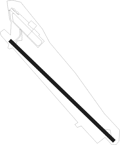
Runway info
Runway 14 / 32  | ||
| length | 929m (3048ft) | |
| bearing | 128° / 308° | |
| width | 23m (75ft) | |
| surface | asphalt | |
| displ threshold | 120m (394ft) / 200m (656ft) | |
| Runway 09W / 27-W- | ||
| length | 10168060m (33359777ft) | |
| bearing | 117° / 297° | |
| width | 457m (1500ft) | |
| Runway 13W / 31-W- | ||
| length | 10167469m (33357838ft) | |
| bearing | 117° / 297° | |
| width | 610m (2000ft) | |
Nearby beacons
| code | identifier | dist | bearing | frequency |
|---|---|---|---|---|
| DLH | DULUTH VORTAC | 8.1 | 297° | 112.60 |
| LKI | LAKESIDE (DULUTH) TACAN | 9.3 | 311° | 135.40 |
| DL | PYKLA (DULUTH) NDB | 14.8 | 292° | 379 |
| HIB | HIBBING VOR/DME | 44 | 311° | 110.80 |
| HYR | DME | 48.9 | 140° | 113.40 |
| BXR | BIG DOCTOR (SIREN) NDB | 55.7 | 200° | 203 |
| RZN | DME | 55.8 | 200° | 109.40 |
Disclaimer
The information on this website is not for real aviation. Use this data with the X-Plane flight simulator only! Data taken with kind consent from X-Plane 12 source code and data files. Content is subject to change without notice.