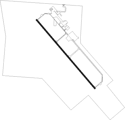
Edinburg - South Texas Intl At Edinburg
Airport details
| Country | United States of America |
| State | Texas |
| Region | K4 |
| Airspace | Houston Oceanic Ctr |
| Municipality | Edinburg |
| Elevation | 75ft (23m) |
| Timezone | GMT -6 |
| Coordinates | 26.44630, -98.12372 |
| Magnetic var | |
| Type | land |
| Available since | X-Plane v10.40 |
| ICAO code | KEBG |
| IATA code | n/a |
| FAA code | EBG |
Communication
| South Texas Intl at Edinburg AWOS 3 | 118.025 |
| South Texas Intl at Edinburg CTAF/UNICOM | 122.800 |
| South Texas Intl at Edinburg CORPUS Approach Departure | 121.000 |
Nearby Points of Interest:
M and J Nelson Building
-Mission Citrus Growers Union Packing Shed
-First Lift Station
-La Lomita Chapel
Nearby beacons
| code | identifier | dist | bearing | frequency |
|---|---|---|---|---|
| MF | MISSI (MC ALLEN) NDB | 15.3 | 224° | 330 |
| MFE | MC ALLEN VOR/DME | 17.5 | 203° | 117.20 |
| EOC | COYOTE (ENCINO) NDB | 24.9 | 347° | 232 |
| HR | SEBAS (HARLINGEN) NDB | 26.4 | 107° | 338 |
| REX | REYNOSA VOR/DME | 26.8 | 194° | 112.40 |
| HRL | HARLINGEN VOR/DME | 28.5 | 115° | 113.65 |
| BR | DEPOO (BROWNSVILLE) NDB | 43.2 | 127° | 393 |
| BRO | BROWNSVILLE VORTAC | 51 | 125° | 116.30 |
| MAM | MATAMOROS VOR/DME | 51.8 | 138° | 114.30 |
Instrument approach procedures
| runway | airway (heading) | route (dist, bearing) |
|---|---|---|
| RW14 | FATOR (65°) | FATOR GUYEV (14mi, 13°) 1900ft RASOY (5mi, 57°) 1900ft |
| RW14 | JIMIE (232°) | JIMIE TOYUK (24mi, 257°) 1900ft RASOY (5mi, 237°) 1900ft |
| RW14 | RASOY (140°) | RASOY 1900ft |
| RNAV | RASOY 1900ft WELGA (6mi, 141°) 1800ft KEBG (5mi, 140°) 120ft (5842mi, 105°) 325ft TELYO (5835mi, 285°) 1900ft TELYO (turn) | |
| RW32 | FATOR (65°) | FATOR VILUY (17mi, 107°) 1900ft TELYO (5mi, 57°) 1900ft |
| RW32 | JIMIE (232°) | JIMIE UYOTA (27mi, 203°) 1900ft TELYO (5mi, 237°) 1900ft |
| RW32 | TELYO (322°) | TELYO 1900ft |
| RNAV | TELYO 1900ft ZULOS (6mi, 321°) 1800ft KEBG (6mi, 322°) 118ft (5842mi, 105°) 323ft RASOY (5848mi, 285°) 1900ft RASOY (turn) |
Disclaimer
The information on this website is not for real aviation. Use this data with the X-Plane flight simulator only! Data taken with kind consent from X-Plane 12 source code and data files. Content is subject to change without notice.