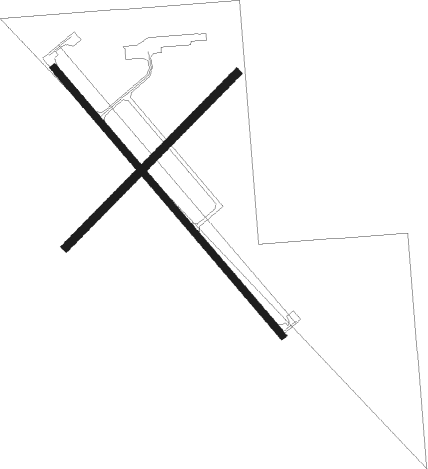
Webster City - Webster City Muni
Airport details
| Country | United States of America |
| State | Iowa |
| Region | K3 |
| Airspace | Minneapolis Ctr |
| Municipality | Hamilton County |
| Elevation | 1121ft (342m) |
| Timezone | GMT -6 |
| Coordinates | 42.43641, -93.86897 |
| Magnetic var | |
| Type | land |
| Available since | X-Plane v10.40 |
| ICAO code | KEBS |
| IATA code | EBS |
| FAA code | EBS |
Communication
| Webster City Muni AWOS 3 | 127.825 |
| Webster City Muni CTAF/UNICOM | 122.800 |
Nearby Points of Interest:
William J. and Hattie J. Zitterell House
-Kendall Young Public Library
-Tremaine Bridge
-William Oakland Round Barn
-Eagle Grove Public Library
-Oakland Cemetery
-Oak Hill Historic District
-Fort Dodge Downtown Historic District
-Webster County Courthouse
-First National Bank Building
-Squaw Creek Bridge 2
-Burlington, Cedar Rapids and Northern Railroad Passenger Station
-Wright County Courthouse
-Henry T. and Emilie (Wiese) Henryson House
-Herschel-Spillman Two-Row Portable Menagerie Carousel
-Fillmore Block
-Quasdorf Blacksmith and Wagon Shop
-Burlington, Cedar Rapids & Northern Passenger Depot-Dows
-Perrigo-Holmes House
-Ericson Public Library
-Corydon Brown House
-Champlin Memorial Masonic Temple
-Boone County Courthouse
-Alden Public Library
-Boone Bridge 2

Nearby beacons
| code | identifier | dist | bearing | frequency |
|---|---|---|---|---|
| FO | BARRO (FORT DODGE) NDB | 19.9 | 280° | 341 |
| FOD | FORT DODGE VORTAC | 21.5 | 292° | 113.50 |
| EFW | JEFFERSON NDB | 33 | 228° | 391 |
| MC | SURFF (MASON CITY) NDB | 44 | 41° | 348 |
| MCW | MASON CITY VOR/DME | 46.1 | 39° | 114.90 |
| JWJ | ELMWOOD (MARSHALTOWN) VOR/DME | 46.9 | 109° | 109.40 |
| TNU | NEWTON VOR/DME | 51.7 | 131° | 112.50 |
| EGQ | EMMETSBURG NDB | 54.4 | 308° | 410 |
| DSM | DES MOINES VORTAC | 60.7 | 168° | 117.50 |
Instrument approach procedures
| runway | airway (heading) | route (dist, bearing) |
|---|---|---|
| RW14 | HOGOD (135°) | HOGOD 3000ft |
| RNAV | HOGOD 3000ft WANPO (7mi, 135°) 2700ft ZOKOV (3mi, 135°) 1640ft KEBS (2mi, 135°) 1146ft (5577mi, 114°) 1367ft OLTOE (5570mi, 294°) 3000ft OLTOE (turn) | |
| RW32 | OLTOE (316°) | OLTOE 3000ft |
| RNAV | OLTOE 3000ft BLDSO (6mi, 316°) 2700ft DOVVA (3mi, 316°) 1620ft KEBS (2mi, 316°) 1161ft (5577mi, 114°) 1372ft HOGOD (5583mi, 294°) 3000ft HOGOD (turn) |
Disclaimer
The information on this website is not for real aviation. Use this data with the X-Plane flight simulator only! Data taken with kind consent from X-Plane 12 source code and data files. Content is subject to change without notice.