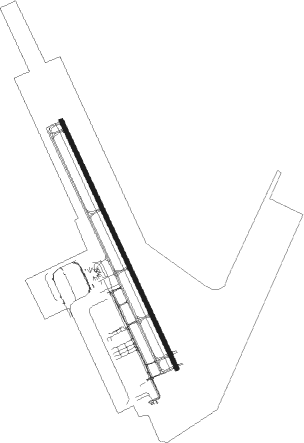
Panama City Beach - Northwest Florida Intl
Airport details
| Country | United States of America |
| State | Florida |
| Region | K7 |
| Airspace | Jacksonville Ctr |
| Municipality | Bay County |
| Elevation | 64ft (20m) |
| Timezone | GMT -6 |
| Coordinates | 30.35825, -85.79561 |
| Magnetic var | |
| Type | land |
| Available since | X-Plane v10.40 |
| ICAO code | KECP |
| IATA code | ECP |
| FAA code | ECP |
Communication
| Northwest Florida Intl ASOS | 119.750 |
| Northwest Florida Intl ATIS | 119.975 |
| Northwest Florida Intl CTAF | 118.950 |
| Northwest Florida Intl Ground Control | 121.650 |
| Northwest Florida Intl Tower | 118.950 |
| Northwest Florida Intl TYNDALL Approach/Departure | 125.200 |
Approach frequencies
| ILS-cat-II | RW16 | 111.15 | 18.00mi |
| 3° GS | RW16 | 111.15 | 18.00mi |
Nearby Points of Interest:
Latimer Cabin
-A. A. Payne-John Christo, Sr., House
-Sherman Arcade
-Robert L. McKenzie House
-Sapp House
-SS Tarpon
-DeFuniak Springs Historic District
-St. Agatha's Episcopal Church
-Perry L. Biddle House
-Sun Bright
-South Third Street Historic District
-Chipley City Hall
-Keith Cabin
Nearby beacons
| code | identifier | dist | bearing | frequency |
|---|---|---|---|---|
| PFN | LYNNE (PANAMA CITY) NDB | 2 | 157° | 278 |
| PAM | TYNDALL (PANAMA CITY) TACAN | 20.6 | 142° | 133.70 |
| DWG | WARRINGTON (VALPARAISO) TACAN | 38.2 | 279° | 134.50 |
| SMY | SOYYA (MARIANNA) NDB | 42.6 | 48° | 329 |
| MAI | MARIANNA VORTAC | 43.1 | 57° | 114 |
| HRT | HURLBURT (MARY ESTHER) TACAN | 46.5 | 274° | 110.80 |
| CE | KOBRA (CRESTVIEW) NDB | 48.4 | 304° | 201 |
| OZ | RUCKR (FT RUCKER) NDB | 52.1 | 359° | 212 |
| CEW | CRESTVIEW VORTAC | 53.6 | 298° | 115.90 |
| OZR | CAIRNS (FT RUCKER) VOR/DME | 54.8 | 4° | 111.20 |
| EDN | ENTERPRISE VOR | 56.6 | 353° | 116.60 |
| RRS | WIREGRASS (DOTHAN) VORTAC | 58.7 | 21° | 111.60 |
| BVG | BOLL WEEVIL (ENTERPRISE) NDB | 59.7 | 349° | 352 |
| JUY | JUDD (ANDALUSIA) NDB | 64.6 | 328° | 264 |
Instrument approach procedures
| runway | airway (heading) | route (dist, bearing) |
|---|---|---|
| RW16 | CLRRK (270°) | CLRRK LATHN (45mi, 283°) 6000ft ZIBAS (12mi, 287°) 3000ft OTTOE (7mi, 238°) 3000ft |
| RW16 | LAARA (164°) | LAARA RLTID (9mi, 182°) 3000ft OTTOE (7mi, 156°) 3000ft |
| RW16 | OTTOE (156°) | OTTOE 3000ft |
| RNAV | OTTOE 3000ft LIVVY (6mi, 156°) 2000ft SIKDE (4mi, 156°) 660ft KECP (3mi, 157°) 124ft (5187mi, 109°) 500ft SCARE (5180mi, 289°) 4000ft SCARE (turn) | |
| RW34 | CLRRK (270°) | CLRRK WESJY (38mi, 258°) 5000ft TYBOX (8mi, 258°) 3000ft SIDOE (4mi, 277°) 3000ft |
| RNAV | SIDOE 3000ft CIGRO (4mi, 295°) 2600ft FIGOV (2mi, 337°) 2000ft HISNO (4mi, 337°) 580ft KECP (2mi, 337°) 109ft (5187mi, 109°) 254ft HOSBY (5189mi, 290°) HUUPP (12mi, 12°) 4000ft HUUPP (turn) |
Disclaimer
The information on this website is not for real aviation. Use this data with the X-Plane flight simulator only! Data taken with kind consent from X-Plane 12 source code and data files. Content is subject to change without notice.