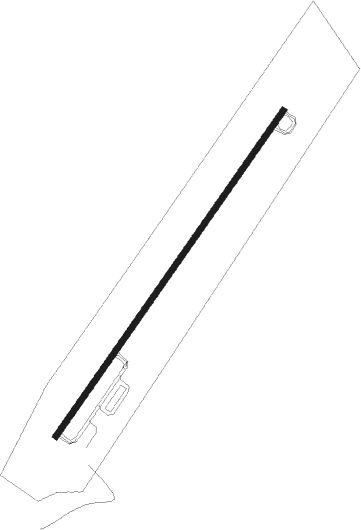
Meeker - Meeker Coulter Fld
Airport details
| Country | United States of America |
| State | Colorado |
| Region | K2 |
| Airspace | Denver Ctr |
| Municipality | Rio Blanco County |
| Elevation | 6419ft (1957m) |
| Timezone | GMT -7 |
| Coordinates | 40.04881, -107.88592 |
| Magnetic var | |
| Type | land |
| Available since | X-Plane v10.40 |
| ICAO code | KEEO |
| IATA code | n/a |
| FAA code | EEO |
Communication
| Meeker Coulter Fld ASOS | 135.525 |
| Meeker Coulter Fld CTAF/UNICOM | 122.800 |
Nearby Points of Interest:
St. James Episcopal Church
-Hay's Ranch Bridge
Runway info
| Runway 3 / 21 | ||
| length | 1982m (6503ft) | |
| bearing | 47° / 227° | |
| width | 30m (100ft) | |
| surface | asphalt | |
| displ threshold | 0m (0ft) / 1m (3ft) | |
Nearby beacons
| code | identifier | dist | bearing | frequency |
|---|---|---|---|---|
| EKR | MEEKER VOR/DME | 2.1 | 296° | 115.20 |
| RIL | RIFLE VOR/DME | 32.1 | 162° | 110.60 |
| CHE | HAYDEN VOR/DME | 38.8 | 51° | 115.60 |
| SXW | SNOW (EAGLE) VOR/DME | 48.3 | 115° | 109.20 |
| DBL | RED TABLE (EAGLE) VOR/DME | 58.6 | 122° | 113 |
| JNC | GRAND JUNCTION VOR/DME | 72.7 | 223° | 112.40 |
Instrument approach procedures
| runway | airway (heading) | route (dist, bearing) |
|---|---|---|
| RW03 | EKR (116°) | EKR ZALIS (18mi, 220°) 11000ft ZALIS (turn) 11000ft |
| RW03 | HAPRA (47°) | HAPRA ZALIS (3mi, 47°) 11000ft |
| RW03 | RACER (93°) | RACER ZALIS (39mi, 112°) 11000ft |
| RW03 | RIL (342°) | RIL ZALIS (26mi, 304°) 11000ft |
| RNAV | ZALIS 11000ft PETOY (9mi, 47°) 9300ft WAGOK (2mi, 47°) 8720ft KEEO (8mi, 47°) 6404ft (6222mi, 110°) 6815ft ZALIS (6236mi, 290°) 11000ft ZALIS (turn) | |
| RWNVB | EKR (116°) | EKR HORIX (11mi, 316°) 10300ft HORIX (turn) 10300ft |
| RWNVB | STRIM (186°) | STRIM HORIX (19mi, 220°) 10300ft |
| RNAV | HORIX 10300ft ITANE (3mi, 132°) 10000ft JODUG (4mi, 132°) 9600ft LEBME (6mi, 132°) 8440ft (6222mi, 110°) 8440ft HORIX (6228mi, 290°) 10300ft HORIX (turn) |
Disclaimer
The information on this website is not for real aviation. Use this data with the X-Plane flight simulator only! Data taken with kind consent from X-Plane 12 source code and data files. Content is subject to change without notice.
