Alabaster - Shelby County
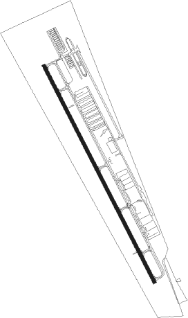
Airport details
| Country | United States of America |
| State | Alabama |
| Region | K7 |
| Airspace | Atlanta Ctr |
| Municipality | Calera |
| Elevation | 583ft (178m) |
| Timezone | GMT -6 |
| Coordinates | 33.17778, -86.78323 |
| Magnetic var | |
| Type | land |
| Available since | X-Plane v10.40 |
| ICAO code | KEET |
| IATA code | EET |
| FAA code | EET |
Communication
| Shelby County ASOS | 134.325 |
| Shelby County CTAF/UNICOM | 122.700 |
| Shelby County BIRMINGHAM Approach | 123.800 |
| Shelby County BIRMINGHAM Departure | 123.800 |
Nearby Points of Interest:
Edmund King House
-Downtown Montevallo Historic District
-McKibbon House Bed & Breakfast
-Old Shelby County Courthouse
-Montebrier
-Brierfield Furnace
-Sadler House
-Bernice L. Wright Lustron House
-John D. and Katherine Gleissner Lustron House
-Red Mountain Expressway Cut
-Flintridge Building
-Second Presbyterian Church
-Fire Station No. 3
-Belview Heights Historic District
-Dr. A.M. Brown House
-East End Baptist Church
-Fire Station No. 6
-John Hand Building
-Downtown Birmingham Retail and Theatre Historic District
-Heaviest Corner on Earth
-Birmingham Civil Rights District
-Downtown Birmingham Historic District
-Watts Building
-Robert S. Vance Federal Building and United States Courthouse
-First United Methodist Church
Nearby beacons
| code | identifier | dist | bearing | frequency |
|---|---|---|---|---|
| BH | MCDEN (BIRMINGHAM) NDB | 20.2 | 349° | 224 |
| OKW | BROOKWOOD VORTAC | 23.7 | 277° | 111 |
| VUZ | VULCAN (BIRMINGHAM) VORTAC | 30.1 | 347° | 114.40 |
| LDK | CRIMSON VORTAC | 38.1 | 276° | 117.80 |
| TDG | DME | 44.1 | 62° | 108.80 |
| TC | TUSKE (TUSCALOOSA) NDB | 44.6 | 269° | 362 |
| AN | BOGGA (ANNISTON) NDB | 47.8 | 67° | 211 |
| MXF | MAXWELL (MONTGOMERY) TACAN | 52.3 | 153° | 115 |
| MG | MARRA (MONTGOMERY) NDB | 53.8 | 163° | 245 |
| SE | POLLK (SELMA) NDB | 55 | 189° | 344 |
| GAD | GADSDEN VOR/DME | 59.3 | 41° | 112.30 |
| MGM | MONTGOMERY VORTAC | 61.9 | 154° | 112.10 |
Instrument approach procedures
| runway | airway (heading) | route (dist, bearing) |
|---|---|---|
| RW16 | GOTBY (198°) | GOTBY JUKVO (7mi, 297°) 3000ft JUKVO (turn) 3000ft |
| RW16 | OKW (97°) | OKW JUKVO (20mi, 73°) 3000ft |
| RNAV | JUKVO 3000ft YIBUR (6mi, 153°) 2300ft WEDAS (3mi, 153°) 1360ft KEET (3mi, 153°) 625ft CABVU (11mi, 154°) 3000ft CABVU (turn) | |
| RW34 | CABVU (334°) | CABVU 3000ft |
| RW34 | KORNR (10°) | KORNR IXUSE (10mi, 21°) 3000ft CABVU (5mi, 71°) 3000ft |
| RW34 | KYLEE (272°) | KYLEE BEKTE (14mi, 242°) 3000ft CABVU (5mi, 251°) 3000ft |
| RNAV | CABVU 3000ft FABOX (6mi, 334°) 2200ft KEET (5mi, 333°) 638ft YIBUR (6mi, 333°) AKGOS (14mi, 233°) CABVU (18mi, 107°) 3000ft CABVU (turn) |
Disclaimer
The information on this website is not for real aviation. Use this data with the X-Plane flight simulator only! Data taken with kind consent from X-Plane 12 source code and data files. Content is subject to change without notice.