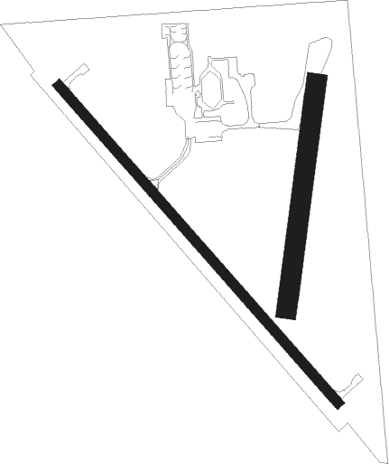
Jefferson - Jefferson Muni
Airport details
| Country | United States of America |
| State | Iowa |
| Region | K3 |
| Airspace | Minneapolis Ctr |
| Municipality | Greene County |
| Elevation | 1045ft (319m) |
| Timezone | GMT -6 |
| Coordinates | 42.01058, -94.34236 |
| Magnetic var | |
| Type | land |
| Available since | X-Plane v10.40 |
| ICAO code | KEFW |
| IATA code | EFW |
| FAA code | EFW |
Communication
| Jefferson Muni CTAF/UNICOM | 122.800 |
Nearby Points of Interest:
Greene County Courthouse
-Jefferson Square Commercial Historic District
-George H. Gallup House
-Beaver Creek Bridge
-St. Patrick's Catholic Church, Cedar
-Perry Carnegie Library Building
-Bruce's Snowball Market No. 1 Addition
-Jones Business College
-Kate Shelley High Bridge
-Boone Bridge 2
-Boone County Courthouse
-Perrigo-Holmes House
-Ericson Public Library
-Minburn Railroad Depot
-Champlin Memorial Masonic Temple
-Anthony M. McColl House
-Marsh Rainbow Arch Bridge
-Lake City Public Library
-Lake City Community Memorial Building
-Peter and Mary Smith House
-Gen. Cass and Belle Smith House
-Chicago & Northwestern Passenger Depot and Baggage Room-Carroll
-Carl and Ulrika Dalander Cassel House
-Calhoun County Courthouse
-Big Creek Bridge

Nearby beacons
| code | identifier | dist | bearing | frequency |
|---|---|---|---|---|
| EFW | JEFFERSON NDB | 0.1 | 354° | 391 |
| FO | BARRO (FORT DODGE) NDB | 30.3 | 4° | 341 |
| FOD | FORT DODGE VORTAC | 36.1 | 5° | 113.50 |
| DSM | DES MOINES VORTAC | 46.3 | 130° | 117.50 |
Instrument approach procedures
| runway | airway (heading) | route (dist, bearing) |
|---|---|---|
| RW14 | TEZOB (134°) | TEZOB 3100ft |
| RW14 | UDIXY (161°) | UDIXY TEZOB (5mi, 241°) 3100ft |
| RW14 | WOKIP (113°) | WOKIP TEZOB (5mi, 60°) 3100ft |
| RNAV | TEZOB 3100ft SUGDY (6mi, 134°) 2800ft KEFW (6mi, 134°) 1083ft (5599mi, 114°) 1330ft PELEA (5592mi, 294°) 3100ft PELEA (turn) | |
| RW32 | PELEA (315°) | PELEA 3100ft |
| RW32 | QAREP (342°) | QAREP PELEA (5mi, 61°) 3100ft |
| RW32 | REBIF (293°) | REBIF PELEA (5mi, 241°) 3100ft |
| RNAV | PELEA 3100ft OZZOP (6mi, 315°) 2800ft WOMAD (4mi, 315°) 1620ft KEFW (2mi, 316°) 1083ft (5599mi, 114°) 1297ft TEZOB (5605mi, 294°) 3100ft TEZOB (turn) |
Disclaimer
The information on this website is not for real aviation. Use this data with the X-Plane flight simulator only! Data taken with kind consent from X-Plane 12 source code and data files. Content is subject to change without notice.