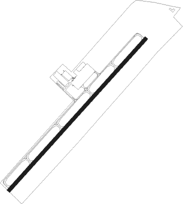
Elizabethtown - Addington Fld
Airport details
| Country | United States of America |
| State | Kentucky |
| Region | K5 |
| Airspace | Indianapolis Ctr |
| Municipality | Elizabethtown |
| Elevation | 772ft (235m) |
| Timezone | GMT -5 |
| Coordinates | 37.68828, -85.92534 |
| Magnetic var | |
| Type | land |
| Available since | X-Plane v10.30 |
| ICAO code | KEKX |
| IATA code | EKX |
| FAA code | EKX |
Communication
| ADDINGTON FLD WX AWOS-3 | 121.025 |
| ADDINGTON FLD CTAF/UNICOM | 122.800 |
| ADDINGTON FLD Clearance DEL | 119.450 |
| ADDINGTON FLD LOUISVILLE GROUND | 121.700 |
| ADDINGTON FLD LOUISVILLE TOWER | 124.200 |
| ADDINGTON FLD LOUISVILLE Approach (West) | 123.675 |
| ADDINGTON FLD LOUISVILLE Approach (East) | 132.075 |
| ADDINGTON FLD LOUISVILLE Departure (Alt) | 132.325 |
| ADDINGTON FLD LOUISVILLE Departure (Alt) | 134.150 |
Approach frequencies
| ILS-cat-I | RW05 | 109.75 | 18.00mi |
| 3° GS | RW05 | 109.75 | 18.00mi |
Nearby Points of Interest:
Helm Place
-J. Roy Bond House
-Benjamin Helm House
-Embry Chapel Church
-First Baptist Church
-Morrison Lodge
-Larue-Layman House
-Brown Pusey House Community Center
-Elizabethtown Armory
-First Presbyterian Church
-Hodgenville Women's Club
-United States Bullion Depository
-Knob Creek Farm
-Louisville and Nashville Combine Car Number 665
-Louisville and Nashville Railroad 152
-Kintner-Withers House
-Fort Duffield
-Bank of the Commonwealth
-Jack Thomas House
-St. Thomas Roman Catholic Church and Howard-Flaget House
-Hunter House
-Brandenburg Methodist Episcopal Church
-Brandenburg Commercial District
-Meade County Jail
-Basilica of St. Joseph Proto-Cathedral
Nearby beacons
| code | identifier | dist | bearing | frequency |
|---|---|---|---|---|
| EWO | NEW HOPE VOR/DME | 12.3 | 103° | 110.80 |
| FTK | FORT KNOX VOR/DME | 13.3 | 348° | 109.60 |
| MYS | MYSTIC VOR | 19.5 | 303° | 108.20 |
| IIU | LOUISVILLE VORTAC | 29.8 | 40° | 114.80 |
| LK | LAANG (LOUISVILLE) NDB | 30.7 | 33° | 414 |
| BQM | (LOUISVILLE) DME | 34.8 | 26° | 112.20 |
| JV | CATCH (JEFFERSONVILLE) NDB | 48 | 13° | 331 |
| BWG | GREEN DME | 51.8 | 214° | 117.90 |
| BW | NOORA (BOWLING GREEN) NDB | 55.3 | 215° | 236 |
Instrument approach procedures
| runway | airway (heading) | route (dist, bearing) |
|---|---|---|
| RW05 | OSINE (69°) | OSINE RISZO (10mi, 85°) 2500ft |
| RW05 | RISZO (53°) | RISZO 2500ft |
| RNAV | RISZO 2500ft CIHAD (6mi, 53°) 2500ft KEKX (6mi, 52°) 799ft (5212mi, 114°) 968ft ZIBET (5208mi, 294°) HERMS (18mi, 99°) 3000ft HERMS (turn) | |
| RW23 | JBEAM (250°) | JBEAM ZOMDA (4mi, 232°) 2500ft |
| RNAV | ZOMDA 2500ft JEXUD (6mi, 267°) 2500ft WUXAX (5mi, 242°) 963ft (5211mi, 114°) 1176ft YOYGU (5214mi, 294°) RISZO (9mi, 229°) 3000ft RISZO (turn) |
Disclaimer
The information on this website is not for real aviation. Use this data with the X-Plane flight simulator only! Data taken with kind consent from X-Plane 12 source code and data files. Content is subject to change without notice.