Eagle Lake
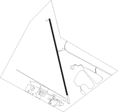
Airport details
| Country | United States of America |
| State | Texas |
| Region | K4 |
| Airspace | Houston Oceanic Ctr |
| Municipality | Eagle Lake |
| Elevation | 184ft (56m) |
| Timezone | GMT -6 |
| Coordinates | 29.60067, -96.32205 |
| Magnetic var | |
| Type | land |
| Available since | X-Plane v10.40 |
| ICAO code | KELA |
| IATA code | ELA |
| FAA code | ELA |
Communication
| EAGLE LAKE CTAF | 122.900 |
Nearby Points of Interest:
Attwater Prairie Chicken National Wildlife Refuge
-Colorado County Courthouse
-Wharton County Courthouse Historic Commercial District
-Fayetteville Historic District
-East Navidad River Bridge
-B. Ray and Charlotte Woods House
-John M. and Lottie D. Moore House
-Lamar–Calder House
-Chappell Hill Circulating Library
-Main Street Historic District
-Isaac Applewhite House
-J. R. Routt House
-Giddings-Stone Mansion
-Lavaca County Courthouse
-Wood-Hughes House
-F. W. Schuerenberg House
-Lay-Bozka House
-Brenham Downtown Historic District
-Washington County Courthouse
-East Brenham
Nearby beacons
| code | identifier | dist | bearing | frequency |
|---|---|---|---|---|
| ELA | EAGLE LAKE VOR/DME | 3.7 | 5° | 116.40 |
| IDU | INDUSTRY VORTAC | 24.7 | 326° | 110.20 |
| TNV | NAVASOTA VOR/DME | 43.5 | 21° | 115.90 |
| PSX | PALACIOS VORTAC | 50.2 | 179° | 117.30 |
| CL | ROWDY (COLLEGE STATION) NDB | 53.6 | 359° | 260 |
| VCT | VICTORIA VOR/DME | 54.3 | 223° | 109 |
| IAH | HUMBLE (HOUSTON) VORTAC | 55.2 | 70° | 116.60 |
| CX | ALIBI (HOUSTON) NDB | 66.5 | 45° | 281 |
Instrument approach procedures
| runway | airway (heading) | route (dist, bearing) |
|---|---|---|
| RW17 | AROLT (213°) | AROLT HIDIM (10mi, 262°) 2000ft |
| RW17 | YIGUK (130°) | YIGUK HIDIM (10mi, 82°) 2000ft |
| RNAV | HIDIM 2000ft IVUYU (7mi, 170°) 2000ft KELA (6mi, 170°) 232ft (5735mi, 107°) 580ft ZOMVA (5734mi, 287°) 2000ft ZOMVA (turn) | |
| RW35 | ATOQU (30°) | ATOQU ZOMVA (10mi, 78°) 2000ft |
| RW35 | OXEMY (310°) | OXEMY ZOMVA (10mi, 262°) 2000ft |
| RNAV | ZOMVA 2000ft UBACO (7mi, 350°) 2000ft KELA (6mi, 350°) 223ft (5735mi, 107°) 584ft HIDIM (5736mi, 287°) 2000ft HIDIM (turn) |
Disclaimer
The information on this website is not for real aviation. Use this data with the X-Plane flight simulator only! Data taken with kind consent from X-Plane 12 source code and data files. Content is subject to change without notice.