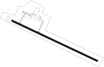
Ely - Ely Muni
Airport details
| Country | United States of America |
| State | Minnesota |
| Region | K3 |
| Airspace | Minneapolis Ctr |
| Municipality | Saint Louis County |
| Elevation | 1455ft (443m) |
| Timezone | GMT -6 |
| Coordinates | 47.82401, -91.82932 |
| Magnetic var | |
| Type | land |
| Available since | X-Plane v10.40 |
| ICAO code | KELO |
| IATA code | LYU |
| FAA code | ELO |
Communication
| Ely Muni AWOS 3 | 132.025 |
| Ely Muni CTAF/UNICOM | 122.800 |
Nearby Points of Interest:
Listening Point
-Hartley Building
-Alex Seitaniemi Housebarn
-Elias and Lisi Aho Farmstead
-Gregorius and Mary Hanka Farmstead
-Anna and Mikko Pyhala Farm
-Tower Fire Hall
-Tower Train Museum
-Isabella Ranger Station
Nearby beacons
| code | identifier | dist | bearing | frequency |
|---|---|---|---|---|
| ELO | DME | 0.1 | 201° | 109.60 |
| SCG | SCOTT (CRANE LAKE) NDB | 36.8 | 304° | 385 |
| HIB | HIBBING VOR/DME | 47.3 | 239° | 110.80 |
| LKI | LAKESIDE (DULUTH) TACAN | 60.6 | 200° | 135.40 |
| DL | PYKLA (DULUTH) NDB | 62.5 | 208° | 379 |
Instrument approach procedures
| runway | airway (heading) | route (dist, bearing) |
|---|---|---|
| RW12 | PUXIE (111°) | PUXIE 4100ft |
| RNAV | PUXIE 4100ft WALIB (6mi, 111°) 3300ft HEGAM (3mi, 111°) 2160ft KELO (3mi, 111°) 1483ft (5479mi, 118°) 1643ft ODASE (5469mi, 298°) 4100ft ODASE (turn) | |
| RW30 | ODASE (291°) | ODASE 4100ft |
| RNAV | ODASE 4100ft HABSA (6mi, 291°) 3300ft BINDE (3mi, 291°) 2200ft KELO (3mi, 291°) 1508ft (5479mi, 118°) 1706ft PUXIE (5489mi, 297°) 4100ft PUXIE (turn) |
Disclaimer
The information on this website is not for real aviation. Use this data with the X-Plane flight simulator only! Data taken with kind consent from X-Plane 12 source code and data files. Content is subject to change without notice.
