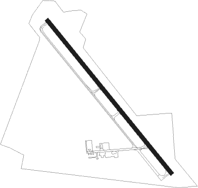
Emporia - Emporia-greensville Regl
Airport details
| Country | United States of America |
| State | Virginia |
| Region | K6 |
| Airspace | Washington Ctr |
| Municipality | Greensville County |
| Elevation | 125ft (38m) |
| Timezone | GMT -5 |
| Coordinates | 36.68686, -77.48275 |
| Magnetic var | |
| Type | land |
| Available since | X-Plane v10.40 |
| ICAO code | KEMV |
| IATA code | n/a |
| FAA code | EMV |
Communication
| Emporia-Greensville Regl AWOS 3 | 124.175 |
| Emporia-Greensville Regl CTAF/UNICOM | 123.000 |
Approach frequencies
| LOC | RW34 | 108.75 | 18.00mi |
Nearby Points of Interest:
Aspen Lawn
-H. T. Klugel Architectural Sheet Metal Work Building
-Greensville County Training School
-Franklin Historic District
-Belfield-Emporia Historic District
-Washington Avenue Historic District (Fredericksburg, Virginia)
-Greensville County Courthouse Complex
-Hicksford-Emporia Historic District
-Old Merchants and Farmers Bank Building
-Village View (Emporia, Virginia)
-Fortsville
-Weaver House
-Alexander Watson Batte House
-Glenview (Stony Creek, Virginia)
-Seaboard Historic District
-J.E. Piland House
-William H. Vincent House
-Mason-Hardee-Capel House
-Garysburg United Methodist Church and Cemetery
-Beaton-Powell House
-Rose Bower
-Belmont (Capron, Virginia)
-Roanoke Canal
-Roanoke Rapids Historic District
-Hunting Quarter
Nearby beacons
| code | identifier | dist | bearing | frequency |
|---|---|---|---|---|
| LVL | LAWRENCEVILLE VORTAC | 21.7 | 287° | 112.90 |
| FKN | FRANKLIN VORTAC | 22.7 | 87° | 110.60 |
| AKQ | WAKEFIELD NDB | 29.1 | 58° | 274 |
| CVI | COFIELD VORTAC | 35 | 117° | 114.60 |
| BKT | BLACKSTONE NDB | 37.7 | 308° | 326 |
| HPW | HOPEWELL VORTAC | 42.3 | 30° | 112 |
| TYI | TAR RIVER (ROCKY MOUNT) VORTAC | 43.9 | 197° | 117.80 |
| RIC | RICHMOND VORTAC | 49.5 | 11° | 114.10 |
| FAK | FLAT ROCK VORTAC | 53.1 | 338° | 113.30 |
| HCM | HARCUM VORTAC | 58.8 | 45° | 108.80 |
| AQE | ALWOOD (GREENVILLE) NDB | 59 | 174° | 230 |
Instrument approach procedures
| runway | airway (heading) | route (dist, bearing) |
|---|---|---|
| RW16 | CIBRA (120°) | CIBRA EYUGO (5mi, 78°) 2000ft |
| RW16 | VASPY (167°) | VASPY EYUGO (5mi, 241°) 2000ft |
| RNAV | EYUGO 2000ft POCAB (4mi, 139°) 1800ft RUSHS (2mi, 139°) 1700ft JFRSN (2mi, 139°) 920ft KEMV (3mi, 139°) 167ft (4804mi, 115°) 520ft JUSPO (4797mi, 295°) 3000ft JUSPO (turn) | |
| RW34 | HORAN (287°) | HORAN JUSPO (8mi, 241°) 2000ft |
| RW34 | JUSPO (319°) | JUSPO 2000ft |
| RW34 | RESTE (0°) | RESTE JUSPO (8mi, 61°) 2000ft |
| RNAV | JUSPO 2000ft IQJAZ (6mi, 320°) 1600ft SIPLE (3mi, 319°) 720ft KEMV (2mi, 319°) 153ft (4804mi, 115°) 600ft JUSPO (4797mi, 295°) 3000ft JUSPO (turn) |
Disclaimer
The information on this website is not for real aviation. Use this data with the X-Plane flight simulator only! Data taken with kind consent from X-Plane 12 source code and data files. Content is subject to change without notice.
