Newberry - Luce Co
Airport details
| Country | United States of America |
| State | Michigan |
| Region | K5 |
| Airspace | Minneapolis Ctr |
| Municipality | Pentland Township |
| Elevation | 869ft (265m) |
| Timezone | GMT -5 |
| Coordinates | 46.31100, -85.45717 |
| Magnetic var | |
| Type | land |
| Available since | X-Plane v10.40 |
| ICAO code | KERY |
| IATA code | ERY |
| FAA code | ERY |
Communication
| LUCE CO AWOS-3 | 119.525 |
| LUCE CO CTAF/UNICOM | 122.800 |
Nearby Points of Interest:
Luce County Sheriff's House and Jail
-Manitou Lodge
-Ten Curves Road–Manistique River Bridge
-M-28–Tahquamenon River Bridge
-Seney National Wildlife Refuge
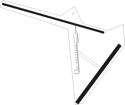
Runway info
Runway 11 / 29  | ||
| length | 1313m (4308ft) | |
| bearing | 104° / 284° | |
| width | 23m (75ft) | |
| surface | asphalt | |
| Runway 04 / 22 | ||
| length | 871m (2858ft) | |
| bearing | 52° / 232° | |
| width | 46m (150ft) | |
| surface | grass | |
| displ threshold | 285m (935ft) / 0m (0ft) | |
Nearby beacons
| code | identifier | dist | bearing | frequency |
|---|---|---|---|---|
| ISQ | CO. (MANISTIQ DME | 35.9 | 245° | 114.85 |
| CI | KOLOE (SAULT STE MARIE) NDB | 37.9 | 89° | 400 |
| PLN | PELLSTON VORTAC | 52.5 | 131° | 111.80 |
Instrument approach procedures
| runway | airway (heading) | route (dist, bearing) |
|---|---|---|
| RW11 | HETOG (88°) | HETOG OBDUW (5mi, 28°) 2700ft |
| RW11 | OBDUW (105°) | OBDUW 2700ft |
| RW11 | PANAY (124°) | PANAY OBDUW (5mi, 208°) 2700ft |
| RNAV | OBDUW 2700ft IYDAY (6mi, 104°) 2500ft EKOPE (3mi, 104°) 1640ft KERY (3mi, 106°) 909ft (5217mi, 118°) 1259ft DIHZE (5206mi, 298°) 2700ft DIHZE (turn) | |
| RW29 | DIHZE (284°) | DIHZE 2700ft |
| RW29 | NARPE (267°) | NARPE 2700ft DIHZE (5mi, 208°) 2700ft |
| RW29 | PIZSU (304°) | PIZSU 2700ft DIHZE (5mi, 28°) 2700ft |
| RNAV | DIHZE 2700ft CUSIR (6mi, 284°) 2500ft KERY (5mi, 283°) 891ft OBDUW (12mi, 285°) 2700ft OBDUW (turn) |
Disclaimer
The information on this website is not for real aviation. Use this data with the X-Plane flight simulator only! Data taken with kind consent from X-Plane 12 source code and data files. Content is subject to change without notice.