Estherville - Estherville Muni
Airport details
| Country | United States of America |
| State | Iowa |
| Region | K3 |
| Airspace | Minneapolis Ctr |
| Municipality | Emmet County |
| Elevation | 1316ft (401m) |
| Timezone | GMT -6 |
| Coordinates | 43.40744, -94.74644 |
| Magnetic var | |
| Type | land |
| Available since | X-Plane v10.40 |
| ICAO code | KEST |
| IATA code | EST |
| FAA code | EST |
Communication
| Estherville Muni ASOS | 121.425 |
| Estherville Muni CTAF/UNICOM | 122.800 |
Nearby Points of Interest:
Gerome Clark House
-Spirit Lake Public Library
-Dickinson County Courthouse
-Jackson County Courthouse
-Spirit Lake Massacre Log Cabin
-Emmetsburg Public Library
-Orville P. and Sarah Chubb House
-Martin County Courthouse
-Red Rock Center for the Arts
-Clay County Courthouse
-Logan Center School No.5
-Mountain Lake Site
Runway info
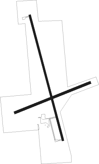
Runway 16 / 34  | ||
| length | 1463m (4800ft) | |
| bearing | 166° / 346° | |
| width | 23m (75ft) | |
| surface | concrete | |
| Runway 06 / 24 | ||
| length | 910m (2986ft) | |
| bearing | 77° / 257° | |
| width | 27m (90ft) | |
| surface | grass | |
Nearby beacons
| code | identifier | dist | bearing | frequency |
|---|---|---|---|---|
| EGQ | EMMETSBURG NDB | 18.4 | 173° | 410 |
| FNX | DME | 20 | 55° | 114.25 |
| FRM | DME | 20.1 | 54° | 110.20 |
| FQ | MONTZ (FAIRMONT) NDB | 21.1 | 69° | 420 |
| SPW | SPENCER VOR/DME | 24.7 | 242° | 110 |
| SP | SNORE (SPENCER) NDB | 27.4 | 253° | 394 |
| OT | WONDD (WORTHINGTON) NDB | 33.7 | 286° | 277 |
| OTG | WORTHINGTON VOR/DME | 39.1 | 286° | 110.60 |
| FOD | FORT DODGE VORTAC | 51.7 | 150° | 113.50 |
| FO | BARRO (FORT DODGE) NDB | 57 | 154° | 341 |
| MKT | MANKATO VOR/DME | 60.7 | 46° | 110.80 |
Instrument approach procedures
| runway | airway (heading) | route (dist, bearing) |
|---|---|---|
| RW16 | OXESY (137°) | OXESY UYJOR (5mi, 82°) 3400ft |
| RW16 | QUKJI (198°) | QUKJI UYJOR (5mi, 262°) 3400ft |
| RW16 | UYJOR (166°) | UYJOR 6000ft UYJOR (turn) 3400ft |
| RNAV | UYJOR 3400ft XUMYI (6mi, 166°) 2900ft KEST (5mi, 166°) 1347ft (5612mi, 115°) 1569ft OHYEQ (5611mi, 295°) 3400ft OHYEQ (turn) | |
| RW34 | ETGIQ (317°) | ETGIQ OHYEQ (5mi, 262°) 3400ft |
| RW34 | OHYEQ (346°) | OHYEQ 6000ft OHYEQ (turn) 3400ft |
| RW34 | UBMUW (18°) | UBMUW OHYEQ (5mi, 82°) 3400ft |
| RNAV | OHYEQ 3400ft IGPUQ (6mi, 346°) 3000ft KEST (5mi, 346°) 1359ft (5612mi, 115°) 1569ft UYJOR (5614mi, 295°) 3400ft UYJOR (turn) |
Disclaimer
The information on this website is not for real aviation. Use this data with the X-Plane flight simulator only! Data taken with kind consent from X-Plane 12 source code and data files. Content is subject to change without notice.