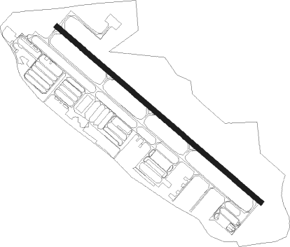
Caldwell - Caldwell Industrial
Airport details
| Country | United States of America |
| State | Idaho |
| Region | K1 |
| Airspace | Salt Lake City Ctr |
| Municipality | Caldwell |
| Elevation | 2431ft (741m) |
| Timezone | GMT -7 |
| Coordinates | 43.64186, -116.63578 |
| Magnetic var | |
| Type | land |
| Available since | X-Plane v10.40 |
| ICAO code | KEUL |
| IATA code | n/a |
| FAA code | EUL |
Communication
| Caldwell Industrial AWOS 3 | 135.075 |
| Caldwell Industrial CTAF/UNICOM | 122.700 |
| Caldwell Industrial BOISE Approach/Departure | 119.600 |
Nearby Points of Interest:
Blatchley Hall
-Carrie Adell Strahorn Memorial Library
-Sterry Hall
-F. F. Beale House
-Caldwell Odd Fellow Home for the Aged
-Caldwell Carnegie Library
-North Caldwell Historic District
-U.S. Post Office – Caldwell Main
-A. K. Steunenberg House
-Caldwell Historic District
-Henry W. and Ida Frost Dorman House
-St. Mary's Catholic Church
-Boise River and Canal Bridge
-U.S. Post Office – Nampa Main
-Nampa Department Store
-E. H. Dewey Stores
-MacMillan Chapel
-Farmers and Merchants Bank
-Nampa Depot
-Nampa Historic District
-Nampa and Meridian Irrigation District Office
-Nampa American Legion Chateau
-H. Orton Wiley House
-Star Camp
-Firebird Raceway
Nearby beacons
| code | identifier | dist | bearing | frequency |
|---|---|---|---|---|
| BOI | BOISE VORTAC | 20 | 101° | 113.30 |
| MUO | MOUNTAIN HOME TACAN | 49 | 128° | 114 |
| LIA | LIBERATOR VOR | 54.6 | 127° | 114.90 |
Instrument approach procedures
| runway | airway (heading) | route (dist, bearing) |
|---|---|---|
| RW12 | CADKI (77°) | CADKI FAPDO (7mi, 360°) 5600ft REDVE (8mi, 53°) 5000ft |
| RW12 | DAGNE (116°) | DAGNE REDVE (8mi, 103°) 5000ft |
| RW12 | EMETT (180°) | EMETT REDVE (12mi, 234°) 5000ft |
| RW12 | REDVE (126°) | REDVE 5000ft |
| RNAV | REDVE 5000ft CELUV (6mi, 126°) 4100ft KEUL (6mi, 126°) 2468ft ADEXE (12mi, 126°) 5000ft ADEXE (turn) | |
| RW30 | ADEXE (306°) | ADEXE 5000ft |
| RW30 | PLUTO (258°) | PLUTO BOI (22mi, 234°) 9000ft ADEXE (12mi, 259°) 5000ft |
| RW30 | RENOL (350°) | RENOL ADEXE (12mi, 38°) 5000ft |
| RNAV | ADEXE 5000ft BABTE (6mi, 306°) 4100ft CABEP (3mi, 306°) 3140ft KEUL (3mi, 306°) 2476ft REDVE (12mi, 306°) 5000ft REDVE (turn) |
Disclaimer
The information on this website is not for real aviation. Use this data with the X-Plane flight simulator only! Data taken with kind consent from X-Plane 12 source code and data files. Content is subject to change without notice.