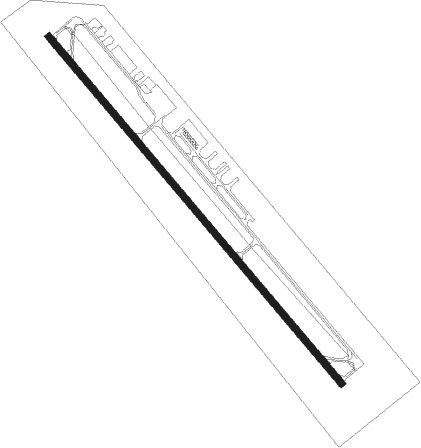
Elizabethtown - Curtis L Brown Jr Field
Airport details
| Country | United States of America |
| State | North Carolina |
| Region | K7 |
| Airspace | Washington Ctr |
| Municipality | Elizabethtown |
| Elevation | 130ft (40m) |
| Timezone | GMT -5 |
| Coordinates | 34.60181, -78.57927 |
| Magnetic var | |
| Type | land |
| Available since | X-Plane v10.40 |
| ICAO code | KEYF |
| IATA code | n/a |
| FAA code | EYF |
Communication
| Curtis L Brown Jr Field AWOS 3 | 119.475 |
| Curtis L Brown Jr Field CTAF | 122.800 |
Nearby Points of Interest:
John Hector Clark House
-Clarkton Depot
-Mt. Horeb Presbyterian Church and Cemetery
-Harmony Hall
-Oakland Plantation
-Columbus County Courthouse
-Baker Sanatorium
-Planters Building
-Carolina Civic Center
-United States Post Office
-Lumberton Commercial Historic District
-Robeson County Agricultural Building
-Luther Henry Caldwell House
-Dell School Campus
-Gen. Thomas Boykin House
-Maxwell House
-Francis Pugh House
-Hope Mills Historic District
-Rocky Ridge Farm Historic District
-Gimghoul Neighborhood Historic District
-William McDiarmid House
-Heritage Square
-Dr. Ezekiel Ezra Smith House
-Sedberry-Holmes House
-Cool Spring Place
Nearby beacons
| code | identifier | dist | bearing | frequency |
|---|---|---|---|---|
| CPC | CAMP (WHITEVILLE) NDB | 20.7 | 202° | 227 |
| CTZ | CLINTON NDB | 24.8 | 30° | 412 |
| FAY | FAYETTEVILLE VOR/DME | 27.2 | 322° | 108.80 |
| JB | JIGEL (LUMBERTON) NDB | 27.8 | 264° | 384 |
| FGP | FORT BRAGG NDB | 34.2 | 337° | 393 |
| ILM | WILMINGTON VORTAC | 37.9 | 110° | 117 |
| DLC | DILLON NDB | 40.1 | 259° | 274 |
| POB | POPE (FAYETTEVILLE) TACAN | 40.3 | 322° | 113.80 |
| GM | WILZE NDB | 41.1 | 109° | 205 |
| POB | POPE (FAYETTEVILLE) NDB | 41.8 | 329° | 338 |
| IL | AIRLI (WILMINGTON) NDB | 43 | 120° | 281 |
| ME | MAXTN (MAXTON) NDB | 43.4 | 279° | 257 |
| OA | ELLAS (JACKSONVILLE) NDB | 44.1 | 80° | 261 |
| CRE | GRAND STRAND VORTAC | 47.8 | 190° | 114.40 |
| HQT | HARNETT (ERWIN) NDB | 50.1 | 353° | 417 |
| JN | JURLY (SMITHFIELD) NDB | 52.9 | 10° | 263 |
| GSB | SEYMOUR JOHNSON TACAN | 53.2 | 40° | 116.50 |
| HYW | HORRY (CONWAY) NDB | 54.1 | 215° | 370 |
| IS | STALS (KINSTON) NDB | 58 | 54° | 276 |
Instrument approach procedures
| runway | airway (heading) | route (dist, bearing) |
|---|---|---|
| RW15 | EXBEL (139°) | EXBEL 3100ft |
| RW15 | JUXOR (117°) | JUXOR 3100ft EXBEL (5mi, 59°) 3100ft |
| RW15 | WOBOM (164°) | WOBOM 3100ft EXBEL (5mi, 239°) 3100ft |
| RNAV | EXBEL 3100ft EBURY (6mi, 139°) 2000ft KEYF (6mi, 139°) 173ft ESURE (11mi, 139°) 3100ft ESURE (turn) | |
| RW33 | ESURE (319°) | ESURE 3100ft |
| RW33 | IBEKE (346°) | IBEKE 3100ft ESURE (5mi, 59°) 3100ft |
| RW33 | IFDOS (296°) | IFDOS 3100ft ESURE (5mi, 239°) 3100ft |
| RNAV | ESURE 3100ft EZBOX (6mi, 319°) 1700ft KEYF (5mi, 319°) 173ft EXBEL (12mi, 319°) 3100ft EXBEL (turn) |
Disclaimer
The information on this website is not for real aviation. Use this data with the X-Plane flight simulator only! Data taken with kind consent from X-Plane 12 source code and data files. Content is subject to change without notice.
