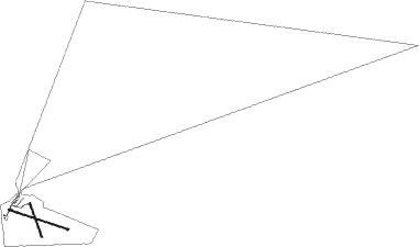
Shawano - Shawano Muni
Airport details
| Country | United States of America |
| State | Wisconsin |
| Region | K5 |
| Airspace | Minneapolis Ctr |
| Municipality | Town of Wescott |
| Elevation | 812ft (247m) |
| Timezone | GMT -6 |
| Coordinates | 44.78730, -88.56001 |
| Magnetic var | |
| Type | land |
| Available since | X-Plane v10.40 |
| ICAO code | KEZS |
| IATA code | n/a |
| FAA code | EZS |
Communication
| Shawano Muni AWOS-3 | 118.650 |
| Shawano Muni CTAF | 122.800 |
| Shawano Muni GREEN BAY Approach | 119.400 |
| Shawano Muni departure | 119.400 |
Nearby Points of Interest:
Shawano Post Office
-Lutheran Indian Mission
-Citizens State Bank of Gillett
-Saint Joseph of the Lake Church and Cemetery
-Daniel E. Krause Stone Barn
-George Peters House
-Center Valley Grade School
-Angeline Champeau Rioux House
-Lena Road School
-Hortonville Community Hall
-Joel S. Fisk House
-Broadway-Dousman Historic District
-Broadway-Walnut Historic District
-Milwaukee Road Passenger Depot
-Brown County Courthouse
-Kellogg Public Library and Neville Public Museum
-Christ Episcopal Church Complex
-Astor Historic District
Nearby beacons
| code | identifier | dist | bearing | frequency |
|---|---|---|---|---|
| GRB | GREEN BAY VORTAC | 20.9 | 122° | 115.50 |
| GR | FAMIS (GREEN BAY) NDB | 24.9 | 137° | 356 |
| SG | DEPRE (GREEN BAY) NDB | 29.6 | 132° | 332 |
| AQ | KOOKY (APPLETON) NDB | 35 | 164° | 407 |
| TN | TRIBE (MENOMINEE) NDB | 40.2 | 72° | 239 |
| MNM | MENOMINEE VOR/DME | 45.3 | 67° | 109.60 |
| OSH | OSHKOSH VORTAC | 47.8 | 180° | 116.75 |
| MT | MAWOC (MANITOWOC) NDB | 50.9 | 124° | 362 |
| MTW | DME | 54.6 | 127° | 111 |
| OS | POBER (OSHKOSH) NDB | 54.8 | 180° | 395 |
| RHI | RHINELANDER VOR/DME | 63.4 | 313° | 109.20 |
Instrument approach procedures
| runway | airway (heading) | route (dist, bearing) |
|---|---|---|
| RW12 | ZASRU (106°) | ZASRU 2700ft |
| RNAV | ZASRU 2700ft WIRIX (7mi, 106°) 2200ft GUHMU (2mi, 106°) 1460ft KEZS (2mi, 107°) 856ft (5344mi, 117°) 1082ft HISAV (5333mi, 297°) 2500ft HISAV (turn) | |
| RW30 | HISAV (287°) | HISAV 2500ft |
| RNAV | HISAV 2500ft BASBY (7mi, 287°) 2200ft KEZS (5mi, 286°) 855ft (5344mi, 117°) 1097ft ZASRU (5354mi, 297°) 2700ft ZASRU (turn) |
Disclaimer
The information on this website is not for real aviation. Use this data with the X-Plane flight simulator only! Data taken with kind consent from X-Plane 12 source code and data files. Content is subject to change without notice.

