Fairbury - Fairbury Muni
Airport details
| Country | United States of America |
| State | Nebraska |
| Region | K3 |
| Airspace | Minneapolis Ctr |
| Municipality | Jefferson County |
| Elevation | 1479ft (451m) |
| Timezone | GMT -6 |
| Coordinates | 40.18197, -97.16789 |
| Magnetic var | |
| Type | land |
| Available since | X-Plane v10.40 |
| ICAO code | KFBY |
| IATA code | FBY |
| FAA code | FBY |
Communication
| Fairbury Muni CTAF/UNICOM | 122.700 |
Nearby Points of Interest:
Fairbury Public Library
-IOOF Temple Building
-Jefferson County Courthouse
-Richard E. Dill House
-Colman House
-Telocvicna Jednota Sokol
-First Commercial Bank
-Hebron United States Post Office
-Beatrice Downtown Historic District
-Christ Church Episcopal
-Gage County Courthouse
-Beatrice Chautauqua Pavilion
-Saline County Courthouse
-Sokol Pavilion
-Rachel Kilpatrick Purdy House
-Rad Saline Center cis. 389 Z.C.B.J.
-Cesko-narodni sin-Milligan Auditorium
-Washington County Courthouse
-Lake Bridenthal House
-Strang School District No. 36
-Z.C.B.J. Rad Tabor No. 74
-Doane College Historic Buildings
-Frank J. Rademacher House
-George W. Smith House
-The Auditorium
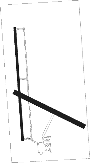
Runway info
Runway 17 / 35  | ||
| length | 1130m (3707ft) | |
| bearing | 181° / 1° | |
| width | 23m (75ft) | |
| surface | concrete | |
| Runway 11 / 29 | ||
| length | 759m (2490ft) | |
| bearing | 114° / 294° | |
| width | 46m (150ft) | |
| surface | grass | |
Nearby beacons
| code | identifier | dist | bearing | frequency |
|---|---|---|---|---|
| FBY | FAIRBURY NDB | 0.3 | 159° | 293 |
| BIE | BEATRICE VOR | 20.2 | 74° | 110.60 |
| FMZ | BEKLOF (FAIRMONT) NDB | 30.5 | 316° | 392 |
| LN | POTTS (LINCOLN) NDB | 38.6 | 36° | 385 |
| PWE | PAWNEE CITY VORTAC | 44.1 | 89° | 112.40 |
| JYR | YORK NDB | 47.6 | 328° | 257 |
| LNK | LINCOLN VORTAC | 48.6 | 30° | 116.10 |
Instrument approach procedures
| runway | airway (heading) | route (dist, bearing) |
|---|---|---|
| RW17 | GADWY (180°) | GADWY 4000ft |
| RW17 | KOPFY (225°) | KOPFY JULOM (3mi, 297°) 4000ft GADWY (5mi, 270°) 4000ft |
| RW17 | NUCDI (138°) | NUCDI KIYNE (29mi, 133°) 4000ft GADWY (5mi, 90°) 4000ft |
| RW17 | VACUS (217°) | VACUS JULOM (8mi, 229°) 4000ft GADWY (5mi, 270°) 4000ft |
| RNAV | GADWY 4000ft DITRY (7mi, 181°) 3000ft ROMGE (3mi, 181°) 2060ft KFBY (2mi, 178°) 1519ft IDECI (11mi, 181°) 3600ft IDECI (turn) | |
| RW35 | BIE (254°) | BIE FOBLU (23mi, 225°) 3600ft IDECI (5mi, 270°) 3600ft CIGOL (4mi, 1°) 3200ft |
| RW35 | IDECI (1°) | IDECI 3600ft CIGOL (4mi, 1°) 3200ft |
| RW35 | OYITO (32°) | OYITO IDECI (5mi, 90°) 3600ft CIGOL (4mi, 1°) 3200ft |
| RNAV | CIGOL 3200ft BUXBI (2mi, 1°) 3000ft KFBY (5mi, 2°) 1504ft GADWY (12mi, 0°) 4000ft GADWY (turn) |
Disclaimer
The information on this website is not for real aviation. Use this data with the X-Plane flight simulator only! Data taken with kind consent from X-Plane 12 source code and data files. Content is subject to change without notice.