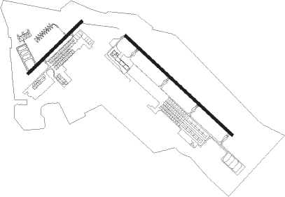
Fort Carson - Butts Army Airfield
Airport details
| Country | United States of America |
| State | Colorado |
| Region | K2 |
| Airspace | Denver Ctr |
| Municipality | El Paso County |
| Elevation | 5872ft (1790m) |
| Timezone | GMT -7 |
| Coordinates | 38.68126, -104.76119 |
| Magnetic var | |
| Type | land |
| Available since | X-Plane v10.40 |
| ICAO code | KFCS |
| IATA code | FCS |
| FAA code | FCS |
Communication
| Butts Army Airfield ATIS | 108.800 |
| Butts Army Airfield WX AW0S-3 | 125.000 |
| Butts Army Airfield BUTTS TOWER | 125.500 |
| Butts Army Airfield SPRINGS Approach/Departure | 124.000 |
Nearby Points of Interest:
Old Livery Stable
-S. A. Wilson Elementary School
-El Pomar Estate
-Pauline Chapel
-John Wolfe House
-Colorado Springs Day Nursery
-Maytag Aircraft Building
-Santa Fe Depot
-Chadbourn Spanish Gospel Mission
-United States Post Office and Federal Courthouse-Colorado Springs Main
-D&RGW 168
-DeGraff Building
-Colorado Springs Public Library-Carnegie Building
-Giddings Building
-Judson Moss Bemis House
-Hagerman Mansion
-Burgess House
-Gwynne–Love House
-Lennox House
-Emmanuel Presbyterian Church
-Frederick H. Cossitt Memorial Hall
-Bemis Hall
-Edgeplain
-Montgomery Hall, Colorado College
-Ida M. Rice House

Nearby beacons
| code | identifier | dist | bearing | frequency |
|---|---|---|---|---|
| FCS | BUTTS (FORT CARSON) VOR/DME | 0.2 | 97° | 108.80 |
| IHS | IRONHORSE (FORT CARSON) NDB | 0.4 | 109° | 335 |
| CO | PETEY (COLORADO SPRINGS) NDB | 2.2 | 74° | 407 |
| BRK | BLACK FOREST VOR/DME | 16.9 | 26° | 112.50 |
| PUB | PUEBLO VORTAC | 27.9 | 139° | 116.70 |
| TF | ARUBA (PUEBLO) NDB | 30.2 | 134° | 373 |
Disclaimer
The information on this website is not for real aviation. Use this data with the X-Plane flight simulator only! Data taken with kind consent from X-Plane 12 source code and data files. Content is subject to change without notice.