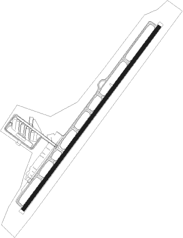
Flagstaff - Flagstaff Pulliam
Airport details
| Country | United States of America |
| State | Arizona |
| Region | K2 |
| Airspace | Albuquerque Ctr |
| Municipality | Flagstaff |
| Elevation | 7011ft (2137m) |
| Timezone | GMT -7 |
| Coordinates | 35.14030, -111.66925 |
| Magnetic var | |
| Type | land |
| Available since | X-Plane v10.40 |
| ICAO code | KFLG |
| IATA code | FLG |
| FAA code | FLG |
Communication
| Flagstaff Pulliam Flagstaff ATIS | 125.800 |
| Flagstaff Pulliam Flagstaff Ground Control | 121.900 |
| Flagstaff Pulliam Flagstaff Tower | 134.550 |
Approach frequencies
| ILS-cat-I | RW21 | 110.5 | 18.00mi |
| 3° GS | RW21 | 110.5 | 18.00mi |
Nearby Points of Interest:
Riordan Mansion State Historic Park
-Flagstaff Armory
-Flagstaff Southside Historic District
-Our Lady of Guadaloupe Church
-Railroad Addition Historic District
-Flagstaff Townsite Historic Residential District
-Presbyterian Church Parsonage
-Flagstaff
-Woody Mountain Lookout Tower
-Cliffs Ranger Station
-Volunteer Lookout Cabin
-Slide Rock State Park
-Sedona Ranger Station
-Sedona
-Kendrick Mountain Fire Lookout Cabin
-Barney Flat Historic Railroad Logging Landscape
-Urban Route 66, Williams
-Camp Clover Ranger Station
-Flagstaff Area National Monuments
-Beaver Creek Ranger Station
-Canyon Diablo Bridge
-Tuzigoot Museum
-Clarkdale Historic District
-Willard House (Cottonwood, Arizona)
-Building at 826 North Main Street
Nearby beacons
| code | identifier | dist | bearing | frequency |
|---|---|---|---|---|
| FLG | FLAGSTAFF VOR/DME | 0.4 | 325° | 113.85 |
| INW | WINSLOW VORTAC | 43.2 | 95° | 112.60 |
| DRK | DRAKE (PRESCOTT) VORTAC | 47.8 | 242° | 114.10 |
| GCN | GRAND CANYON VOR/DME | 54.4 | 330° | 111.65 |
| PAN | DME | 55.7 | 159° | 116.35 |
| TBC | TUBA CITY VORTAC | 62 | 22° | 113.50 |
Departure and arrival routes
| Transition altitude | 18000ft |
| Transition level | 18000ft |
| SID end points | distance | outbound heading | |
|---|---|---|---|
| RW03 | |||
| FLG1 | 16mi | 188° | |
| RW21 | |||
| FLG1 | 16mi | 188° | |
Instrument approach procedures
| runway | airway (heading) | route (dist, bearing) |
|---|---|---|
| RW03 | FLG (145°) | FLG SEZCY (12mi, 225°) 9900ft SEZCY (turn) 9600ft |
| RW03 | JUWSO (48°) | JUWSO SEZCY (16mi, 49°) 9600ft |
| RW03 | OATES (8°) | OATES SEZCY (9mi, 316°) 9600ft |
| RNAV | SEZCY 9600ft TOHQU (6mi, 47°) 8700ft YEDUV (2mi, 47°) 8160ft KFLG (4mi, 47°) 7065ft (6461mi, 107°) 7500ft TAWNE (6447mi, 288°) 9500ft TAWNE (turn) | |
| RW21 | HOXOL (298°) | HOXOL HEDRU (16mi, 20°) 10200ft ZAMAB (13mi, 302°) 10200ft |
| RNAV | ZAMAB 10200ft FIMAL (6mi, 230°) 10200ft CAXAN (5mi, 230°) 8640ft JEPET (2mi, 230°) 7900ft KFLG (3mi, 229°) 7050ft (6461mi, 107°) 7500ft HOXOL (6446mi, 287°) 10800ft HOXOL (turn) |
Disclaimer
The information on this website is not for real aviation. Use this data with the X-Plane flight simulator only! Data taken with kind consent from X-Plane 12 source code and data files. Content is subject to change without notice.