Sussex
Airport details
| Country | United States of America |
| State | New Jersey |
| Region | K6 |
| Airspace | New York Ctr |
| Municipality | Wantage |
| Elevation | 419ft (128m) |
| Timezone | GMT -5 |
| Coordinates | 41.20021, -74.62305 |
| Magnetic var | |
| Type | land |
| Available since | X-Plane v10.40 |
| ICAO code | KFWN |
| IATA code | n/a |
| FAA code | FWN |
Communication
| SUSSEX ASOS | 118.525 |
| SUSSEX CTAF/UNICOM | 122.700 |
| SUSSEX NEW YORK Approach/Departure | 127.600 |
Nearby Points of Interest:
Crescent Theatre
-First Presbyterian Church of Wantage
-Lawrence Mansion
-Bethany Chapel
-Elias Van Bunschooten House
-Old Monroe School House
-Backwards Tunnel
-High Breeze Farm
-Hulet Clark Farmstead
-Sussex County Courthouse
-Metz Ice Plant
-Henry W. Merriam House
-Port Jervis
-United States Post Office
-Pike County Courthouse
-Clinton Furnace
-Forester's Hall
-Fort Decker
-Jervis Gordon Grist Mill Historic District
-Andrew Snable House
-General John Hathorn Stone House
-Grey Towers National Historic Site
-Jeremiah Morehouse House
-Warwick Village Historic District
-Dunning House
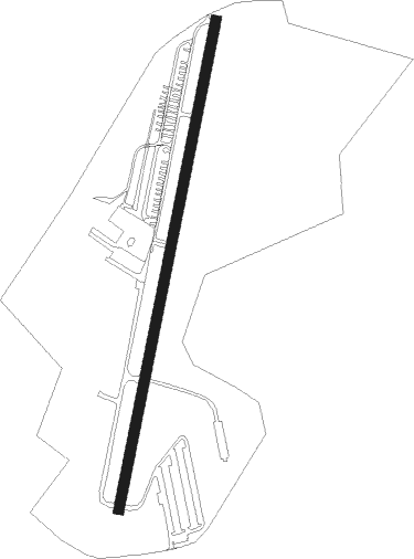
Runway info
| Runway 3 / 21 | ||
| length | 1070m (3510ft) | |
| bearing | 20° / 200° | |
| width | 23m (75ft) | |
| surface | asphalt | |
| displ threshold | 139m (456ft) / 229m (751ft) | |
Nearby beacons
| code | identifier | dist | bearing | frequency |
|---|---|---|---|---|
| SAX | SPARTA VORTAC | 8.8 | 147° | 115.70 |
| HUO | HUGUENOT VOR/DME | 12.6 | 9° | 116.10 |
| STW | STILLWATER VOR/DME | 16.5 | 230° | 109.60 |
| MM | MOREE (MORRISTOWN) NDB | 23.2 | 138° | 392 |
| SW | NEELY (NEWBURGH) NDB | 24.7 | 54° | 335 |
| BWZ | BROADWAY (SCHOOLEY'S MT) VOR/DME | 25.7 | 206° | 114.20 |
| CAT | CHATHAM NDB | 28.9 | 157° | 254 |
| TE | TORBY (TETERBORO) NDB | 32.5 | 129° | 214 |
| SKU | STANWYCK (NEWBURGH) NDB | 32.6 | 60° | 261 |
| TEB | TETERBORO VOR/DME | 33 | 122° | 108.40 |
| SBJ | SOLBERG VOR/DME | 37.4 | 191° | 112.90 |
| LGA | LA GUARDIA (NEW YORK) VOR/DME | 42.3 | 119° | 113.10 |
| IGN | KINGSTON VOR/DME | 45.6 | 60° | 117.60 |
| FJC | ALLENTOWN VORTAC | 47.2 | 240° | 117.50 |
| CRI | CANARSIE VOR/DME | 48.3 | 129° | 112.30 |
| JFK | KENNEDY (NEW YORK) VOR/DME | 51.5 | 124° | 115.90 |
| COL | COLTS NECK VOR/DME | 57.3 | 152° | 115.40 |
| ARD | YARDLEY VOR/DME | 58.3 | 197° | 108.20 |
| RBV | ROBBINSVILLE VORTAC | 60.2 | 173° | 113.80 |
| HNK | HANCOCK VOR/DME | 60.4 | 321° | 116.80 |
| DNY | DE LANCEY VOR/DME | 60.6 | 341° | 112.10 |
| PTW | POTTSTOWN VORTAC | 72.5 | 224° | 116.50 |
Instrument approach procedures
| runway | airway (heading) | route (dist, bearing) |
|---|---|---|
| RW03 | STW (50°) | STW OSUGE (8mi, 91°) 3000ft |
| RW03 | VOYLU (350°) | VOYLU OSUGE (6mi, 282°) 3000ft |
| RNAV | OSUGE 3000ft DINSY (6mi, 21°) 2600ft KFWN (7mi, 21°) 470ft (4714mi, 119°) 821ft SAX (4709mi, 299°) 3000ft SAX (turn) |
Disclaimer
The information on this website is not for real aviation. Use this data with the X-Plane flight simulator only! Data taken with kind consent from X-Plane 12 source code and data files. Content is subject to change without notice.