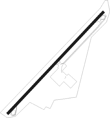
Gallipolis - Gallia-meigs Regl
Airport details
| Country | United States of America |
| State | Ohio |
| Region | K5 |
| Airspace | Indianapolis Ctr |
| Municipality | Gallipolis |
| Elevation | 564ft (172m) |
| Timezone | GMT -5 |
| Coordinates | 38.83411, -82.16343 |
| Magnetic var | |
| Type | land |
| Available since | X-Plane v10.40 |
| ICAO code | KGAS |
| IATA code | n/a |
| FAA code | GAS |
Communication
| Gallia-Meigs Regl CTAF/UNICOM | 123.000 |
| Gallia-Meigs Regl HUNTINGTON Approach/Departure | 132.950 |
Nearby Points of Interest:
Point Pleasant Historic District
-Lewis-Capehart-Roseberry House
-Wood Old Homestead
-William H. Grant House
-Middleport Public Library
-John Downing, Jr., House
-Powell-Redmond House
-Couch-Artrip House
-Shumaker-Lewis House
-The Gold Houses
-Gen. John McCausland House
-Meigs County Fairgrounds
-Gen. Albert Gallatin Jenkins House
-Buffalo Town Square Historic District
-Old Meigs County Courthouse
-Ravenswood "Old Town" Historic District
-Lemley-Wood-Sayer House
-Armstrong House
-Clerc-Carson House
-Winfield Toll Bridge
-Putnam County Courthouse
-Rankin Octagonal Barn
-Mud River Covered Bridge
-Harvey Wells House
-Morgan Mansion
Nearby beacons
| code | identifier | dist | bearing | frequency |
|---|---|---|---|---|
| HNN | DME | 8 | 120° | 115.90 |
| UGS | UNIVERSITY (ATHENS) NDB | 25.4 | 5° | 250 |
| HVQ | CHARLESTON VOR/DME | 34.4 | 141° | 117.40 |
| YRK | YORK VORTAC | 39.8 | 257° | 112.80 |
| PK | VERSI (PARKERSBURG) NDB | 40.4 | 58° | 388 |
| EOP | WAVERLY NDB | 41 | 293° | 385 |
| JPU | PARKERSBURG VOR/DME | 51.7 | 52° | 108.60 |
| ECB | DME | 53.6 | 228° | 110.40 |
| XUB | YELLOW BUD (CIRCLEVILLE) VOR | 56.2 | 310° | 112.50 |
| DD | COBBS (COLUMBUS) NDB | 67.5 | 317° | 253 |
| LCK | RICKENBACKER (COLUMBUS) TACAN | 68.4 | 322° | 134.20 |
Instrument approach procedures
| runway | airway (heading) | route (dist, bearing) |
|---|---|---|
| RW23 | UJOYU (248°) | UJOYU WUNUN (8mi, 263°) 2700ft |
| RW23 | WUNUN (235°) | WUNUN 2700ft |
| RNAV | WUNUN 2700ft YECUV (5mi, 235°) 2300ft KGAS (6mi, 235°) 601ft (5039mi, 115°) 966ft WUNUN (5032mi, 295°) 2700ft WUNUN (turn) |
Disclaimer
The information on this website is not for real aviation. Use this data with the X-Plane flight simulator only! Data taken with kind consent from X-Plane 12 source code and data files. Content is subject to change without notice.