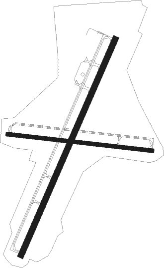
Galesburg - Galesburg Muni
Airport details
| Country | United States of America |
| State | Illinois |
| Region | K5 |
| Airspace | Chicago Ctr |
| Municipality | Galesburg |
| Elevation | 764ft (233m) |
| Timezone | GMT -5 |
| Coordinates | 40.93800, -90.43112 |
| Magnetic var | |
| Type | land |
| Available since | X-Plane v10.40 |
| ICAO code | KGBG |
| IATA code | GBG |
| FAA code | GBG |
Communication
| Galesburg Muni WX AWOS-3 | 118.975 |
| Galesburg Muni CTAF/UNICOM | 123.000 |
| Galesburg Muni QUAD CITY Approach/Departure | 118.200 |
Approach frequencies
| ILS-cat-I | RW03 | 110.7 | 18.00mi |
| 3° GS | RW03 | 110.7 | 18.00mi |
Nearby Points of Interest:
Old Main
-Knox County Jail
-Knox County Courthouse
-Walnut Grove Farm
-Minnie Stewart House
-Alexis Opera House
-Carr House
-William S. Weir, Jr. House
-Pike-Sheldon House
-Ivory Quinby House
-Monmouth Courthouse Commercial Historic District
-E. B. Colwell and Company Department Store
-Patton Block Building
-Sarah Martin House
-J. Newton Conger House
-London Mills Bridge
-Indian Ford Bridge
-Odd Fellows Opera Block
-Mercer County Jail
-Downtown Aledo Historic District
-Mercer County Fairgrounds
-Andover Chapter House
-Olof Johnson House
-Galva Opera House
-Alexis Phelps House

Nearby beacons
| code | identifier | dist | bearing | frequency |
|---|---|---|---|---|
| GBG | DME | 0.1 | 259° | 109.80 |
| MZV | MOLINE VOR/DME | 24.8 | 332° | 114.40 |
| JZY | MACOMB NDB | 25.8 | 197° | 251 |
| BRL | BURLINGTON VOR/DME | 25.9 | 247° | 111.40 |
| PIA | PEORIA VORTAC | 32.8 | 112° | 115.20 |
| BR | BURNS (BURLINGTON) NDB | 35.7 | 248° | 390 |
| BDF | BRADFORD VORTAC | 40.4 | 75° | 114.70 |
| DDD | CITY DME | 41.4 | 301° | 116.50 |
| PI | TUNGG (PEORIA) NDB | 43 | 112° | 356 |
| CVA | DAVENPORT VORTAC | 46.3 | 356° | 113.80 |
| FN | HILLZ (CLINTON) NDB | 48.8 | 3° | 517 |
Instrument approach procedures
| runway | airway (heading) | route (dist, bearing) |
|---|---|---|
| RW03 | BRL (67°) | BRL XUMOH (12mi, 88°) 3000ft IQOCI (5mi, 77°) 3000ft |
| RW03 | IQOCI (35°) | IQOCI 3000ft |
| RW03 | PIA (292°) | PIA UYEKU (33mi, 268°) 3000ft IQOCI (6mi, 338°) 3000ft |
| RNAV | IQOCI 3000ft JISIS (6mi, 35°) 2700ft CUVKI (3mi, 35°) 1600ft KGBG (3mi, 36°) 810ft (5425mi, 114°) 964ft EJIYU (5419mi, 294°) 3000ft EJIYU (turn) | |
| RW21 | BDF (255°) | BDF FAMEM (28mi, 268°) 3000ft EJIYU (5mi, 257°) 3000ft |
| RW21 | EJIYU (215°) | EJIYU 3000ft |
| RW21 | MZV (152°) | MZV ZOLAD (16mi, 114°) 3000ft EJIYU (5mi, 158°) 3000ft |
| RNAV | EJIYU 3000ft ZOXYO (6mi, 215°) 2500ft XUNVY (3mi, 215°) 1640ft KGBG (3mi, 215°) 819ft (5425mi, 114°) 1700ft EJIYU (5419mi, 294°) 3000ft EJIYU (turn) |
Disclaimer
The information on this website is not for real aviation. Use this data with the X-Plane flight simulator only! Data taken with kind consent from X-Plane 12 source code and data files. Content is subject to change without notice.