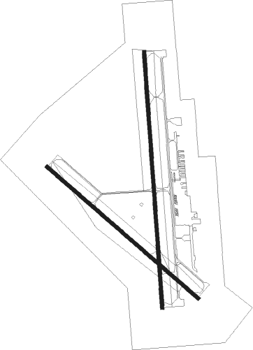
Garden City - Garden City Regl
Airport details
| Country | United States of America |
| State | Kansas |
| Region | K3 |
| Airspace | Kansas City Ctr |
| Municipality | Finney County |
| Elevation | 2891ft (881m) |
| Timezone | GMT -6 |
| Coordinates | 37.92753, -100.72442 |
| Magnetic var | |
| Type | land |
| Available since | X-Plane v10.40 |
| ICAO code | KGCK |
| IATA code | GCK |
| FAA code | GCK |
Communication
| Garden City Regl ASOS | 121.325 |
| Garden City Regl CTAF | 118.150 |
| Garden City Regl UNICOM | 122.950 |
| Garden City Regl Ground Control | 119.000 |
| Garden City Regl Tower | 118.150 |
| Garden City Regl ARV - KC Center | 125.200 |
| Garden City Regl Departure - KC Center | 125.200 |
Approach frequencies
| ILS-cat-I | RW35 | 109.9 | 18.00mi |
| 3° GS | RW35 | 109.9 | 18.00mi |
Nearby Points of Interest:
Garden City High School
-Hope House
-Bungalow Historic District
-Sen. William H. Thompson House
-Windsor Hotel
-Cedar Cliff
-Old Gray County Courthouse
-Deerfield Texaco Service Station

Nearby beacons
| code | identifier | dist | bearing | frequency |
|---|---|---|---|---|
| GCK | GARDEN CITY VORTAC | 0.5 | 184° | 113.30 |
| GC | PIEVE (GARDEN CITY) NDB | 5.9 | 180° | 347 |
| DDC | DODGE CITY VORTAC | 34.3 | 96° | 108.20 |
| ULS | ULYSSES NDB | 36.4 | 243° | 395 |
| LBL | LIBERAL VORTAC | 54.3 | 196° | 112.30 |
| HQG | HUGOTON NDB | 55.3 | 220° | 365 |
| LB | PANCK (LIBERAL) NDB | 58.8 | 194° | 383 |
Instrument approach procedures
| runway | airway (heading) | route (dist, bearing) |
|---|---|---|
| RW12 | ADEER (97°) | ADEER RERGE (10mi, 63°) 4500ft |
| RW12 | GCK (4°) | GCK RERGE (12mi, 310°) 4500ft RERGE (turn) 4500ft |
| RW12 | YANUK (146°) | YANUK RERGE (5mi, 198°) 4500ft |
| RNAV | RERGE 4500ft NOPYI (6mi, 129°) 4500ft JOKEK (3mi, 129°) 3620ft KGCK (3mi, 125°) 2938ft (5912mi, 111°) 3141ft ORECA (5905mi, 291°) 4600ft ORECA (turn) | |
| RW17 | GCK (4°) | GCK WEMDI (13mi, 1°) 4700ft WEMDI (turn) 4700ft |
| RW17 | TOKIE (238°) | TOKIE WEMDI (17mi, 267°) 4700ft |
| RW17 | YANUK (146°) | YANUK WEMDI (7mi, 94°) 4700ft |
| RNAV | WEMDI 4700ft ZABOL (6mi, 181°) 4700ft KGCK (6mi, 181°) 2928ft (5912mi, 111°) 3139ft PIRIY (5913mi, 291°) 4800ft PIRIY (turn) | |
| RW30 | GCK (4°) | GCK ORECA (11mi, 128°) 4600ft ORECA (turn) 4600ft |
| RW30 | POKPE (276°) | POKPE ORECA (13mi, 250°) 4600ft |
| RW30 | ZILCH (332°) | ZILCH ORECA (6mi, 34°) 4600ft |
| RNAV | ORECA 4600ft LULYI (6mi, 309°) 4600ft KGCK (6mi, 310°) 2922ft (5912mi, 111°) 3135ft RERGE (5919mi, 291°) 4500ft RERGE (turn) | |
| RW35 | BOONS (16°) | BOONS PIRIY (5mi, 48°) 4800ft |
| RW35 | GCK (4°) | GCK PIRIY (12mi, 180°) 4800ft PIRIY (turn) 4800ft |
| RW35 | ZILCH (332°) | ZILCH PIRIY (6mi, 280°) 4800ft |
| RNAV | PIRIY 4800ft TEYOT (6mi, 1°) 4700ft KGCK (6mi, 360°) 2936ft (5912mi, 111°) 3135ft WEMDI (5910mi, 291°) 4700ft WEMDI (turn) |
Disclaimer
The information on this website is not for real aviation. Use this data with the X-Plane flight simulator only! Data taken with kind consent from X-Plane 12 source code and data files. Content is subject to change without notice.