Granbury - Granbury Muni
Airport details
| Country | United States of America |
| State | Texas |
| Region | K4 |
| Airspace | Ft Worth Ctr |
| Municipality | Granbury |
| Elevation | 776ft (237m) |
| Timezone | GMT -6 |
| Coordinates | 32.44442, -97.81695 |
| Magnetic var | |
| Type | land |
| Available since | X-Plane v10.40 |
| ICAO code | KGDJ |
| IATA code | n/a |
| FAA code | GDJ |
Communication
| GRANBURY MUNI AWOS 3 | 118.925 |
| GRANBURY MUNI CTAF/UNICOM | 123.000 |
Nearby Points of Interest:
Hood County Courthouse Historic District
-Barnard's Mill
-US 281 Bridge at the Brazos River
-Parker County Courthouse
-Weatherford Downtown Historic District
-Johnson County Courthouse
-Erath County Courthouse
-Stephenville Downtown Historic District
-Dawson Saloon
-First National Bank Building
-Smith Ranch
-Westover Manor
-Marshall R. Sanguinet House
-Roy A. and Gladys Westbrook House
-Will Rogers Memorial Center
-M. A. Benton House
-South Side Masonic Lodge No. 1114
-Wharton-Scott House
-U.S. Post Office
-Pollock-Capps House
-Eddleman-McFarland House
-Fort Worth Masonic Temple
-Henderson Street Bridge
-Eldon B. Mahon United States Courthouse
-Our Mother of Mercy Catholic Church and Parsonage
Runway info
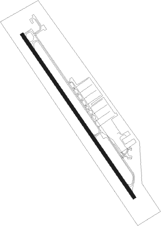
| Runway 14 / 32 | ||
| length | 1101m (3612ft) | |
| bearing | 146° / 326° | |
| width | 18m (60ft) | |
| surface | asphalt | |
Nearby beacons
| code | identifier | dist | bearing | frequency |
|---|---|---|---|---|
| JEN | GLEN ROSE TACAN | 17.3 | 192° | 115 |
| MQP | MILLSAP (MINERAL WELLS) VORTAC | 19.2 | 327° | 117.70 |
| NFW | NAS JRB FORT WORTH (FT WO TACAN | 27.3 | 49° | 108.70 |
| FT | MUFIN (FORT WORTH) NDB | 35 | 45° | 365 |
| FUZ | RANGER (DALLAS-FORT WORTH VORTAC | 41.8 | 55° | 115.70 |
| TTT | MAVERICK VOR/DME | 46.8 | 61° | 113.10 |
| CVE | COWBOY (DALLAS) VOR/DME | 53.3 | 64° | 116.20 |
| ACT | WACO VORTAC | 54.6 | 145° | 115.30 |
| GHX | GRAHAM NDB | 55.2 | 317° | 371 |
| DT | PINCK (DENTON) NDB | 59.3 | 37° | 257 |
| ROB | ROBINSON (WACO) NDB | 68.1 | 142° | 400 |
Instrument approach procedures
| runway | airway (heading) | route (dist, bearing) |
|---|---|---|
| RW14 | MQP (147°) | MQP NUWMN (8mi, 150°) 3000ft |
| RW14 | NUWMN (145°) | NUWMN 3000ft |
| RW14 | SUEZN (120°) | SUEZN NUWMN (5mi, 64°) 3000ft |
| RNAV | NUWMN 3000ft IDOPY (5mi, 145°) 2500ft ADUNY (3mi, 145°) 1460ft KGDJ (2mi, 145°) 802ft (5801mi, 108°) 1036ft INOXE (5799mi, 288°) 2700ft INOXE (turn) 2700ft |
Disclaimer
The information on this website is not for real aviation. Use this data with the X-Plane flight simulator only! Data taken with kind consent from X-Plane 12 source code and data files. Content is subject to change without notice.