Glendive - Dawson Community
Airport details
| Country | United States of America |
| State | Montana |
| Region | K1 |
| Airspace | Salt Lake City Ctr |
| Municipality | Dawson County |
| Elevation | 2456ft (749m) |
| Timezone | GMT -7 |
| Coordinates | 47.13872, -104.80722 |
| Magnetic var | |
| Type | land |
| Available since | X-Plane v10.40 |
| ICAO code | KGDV |
| IATA code | GDV |
| FAA code | GDV |
Communication
| Dawson Community AWOS 3 | 135.075 |
| Dawson Community CTAF/UNICOM | 122.800 |
Nearby Points of Interest:
Bell Street Bridge
-Northern Pacific Railroad Settling Tanks
-Glendive City Water Filtration Plant
-Glendive Heat, Light and Power Company Power Plant
-Charles Krug House
-Merrill Avenue Historic District
-Yellowstone River Bridge
-Wibaux Commercial Historic District
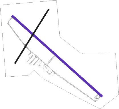
Runway info
| Runway 12 / 30 | ||
| length | 1736m (5696ft) | |
| bearing | 126° / 306° | |
| width | 30m (100ft) | |
| surface | asphalt | |
Runway 2 / 20  | ||
| length | 914m (2999ft) | |
| bearing | 47° / 227° | |
| width | 18m (60ft) | |
| surface | asphalt | |
Nearby beacons
| code | identifier | dist | bearing | frequency |
|---|---|---|---|---|
| GDV | DME | 0.3 | 155° | 114.35 |
Instrument approach procedures
| runway | airway (heading) | route (dist, bearing) |
|---|---|---|
| RW12 | YAFLU (272°) | YAFLU ACAKO (21mi, 284°) 5000ft ACAKO (turn) 5000ft |
| RNAV | ACAKO 5000ft ESELE (4mi, 125°) 4000ft UKIMY (2mi, 126°) 3320ft KGDV (3mi, 126°) 2510ft (6006mi, 114°) 2708ft ZORAS (6003mi, 294°) YAFLU (10mi, 76°) 6000ft YAFLU (turn) | |
| RW30 | ACAKO (126°) | ACAKO ZUDPO (20mi, 126°) 5600ft ZUDPO (turn) 5600ft |
| RW30 | FESTU (344°) | FESTU ZUDPO (6mi, 81°) 5600ft ZUDPO (turn) 5600ft |
| RW30 | OYICE (282°) | OYICE ZUDPO (5mi, 219°) 5600ft ZUDPO (turn) 5600ft |
| RW30 | UMWEL (315°) | UMWEL ZUDPO (26mi, 320°) 5600ft |
| RNAV | ZUDPO 5600ft UROVE (5mi, 306°) 4000ft KGDV (5mi, 306°) 2506ft (6006mi, 114°) 2704ft ACAKO (6011mi, 294°) 6000ft ACAKO (turn) |
Disclaimer
The information on this website is not for real aviation. Use this data with the X-Plane flight simulator only! Data taken with kind consent from X-Plane 12 source code and data files. Content is subject to change without notice.