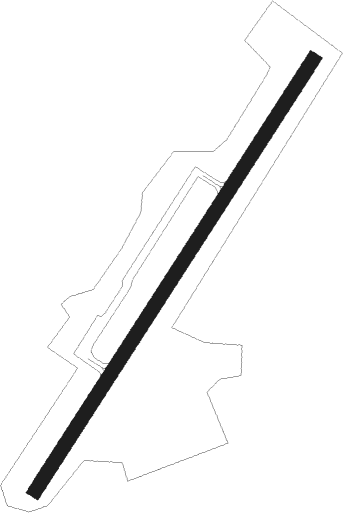
Grundy - Grundy Muni
Airport details
| Country | United States of America |
| State | Virginia |
| Region | K6 |
| Airspace | Indianapolis Ctr |
| Municipality | Buchanan County |
| Elevation | 2304ft (702m) |
| Timezone | GMT -5 |
| Coordinates | 37.23240, -82.12500 |
| Magnetic var | |
| Type | land |
| Available since | X-Plane v10.40 |
| ICAO code | KGDY |
| IATA code | n/a |
| FAA code | n/a |
Communication
| Grundy Muni CTAF | 123.000 |
Nearby Points of Interest:
Buchanan County Courthouse
-Dickenson County Courthouse
-Tazewell Avenue Historic District
-Richlands Historic District
-Williams House
-Jessees Mill
-Bush Mill
-Clinch Valley Roller Mills
-Old Kentucky Turnpike Historic District
-Samuel Gilmer House
-Stephen B. Quillen House
-Sunnydale Farm
-Virginia City Church
-St. Paul Historic District (St. Paul, Virginia)
-Carter Coal Company Store
-Maiden Spring
-Pikeville College Academy Building
-Chesapeake and Ohio Passenger Depot
-Old Russell County Courthouse
-Carter Hill (Lebanon, Virginia)
-Honaker Commercial Historic District
-Castlerun Historic District
-Chimney Rock Farm
-Tacoma School
Runway info
| Runway 4 / 22 | ||
| length | 688m (2257ft) | |
| bearing | 44° / 224° | |
| width | 18m (60ft) | |
| surface | asphalt | |
| blast zone | 22m (72ft) / 0m (0ft) | |
Nearby beacons
| code | identifier | dist | bearing | frequency |
|---|---|---|---|---|
| GZG | GLADE SPRING (BLACKFORD) VOR/DME | 24.5 | 174° | 110.20 |
| TR | MOCCA(BRISTOL-JOHNSON-KINGSPOR NDB | 41.7 | 196° | 299 |
| BLF | BLUEFIELD VOR/DME | 44.7 | 85° | 110 |
| HMV | HOLSTON MOUNTAIN VORTAC | 47.7 | 180° | 114.60 |
| JJC | MOUNTAIN CITY NDB | 51 | 160° | 396 |
| BO | BOOIE (BRISTOL) NDB | 53.1 | 204° | 221 |
| RVN | ROGERSVILLE NDB | 59.2 | 224° | 329 |
| JUH | ASHEE (JEFFERSON) NDB | 61.5 | 135° | 410 |
| ECB | DME | 66.9 | 320° | 110.40 |
Disclaimer
The information on this website is not for real aviation. Use this data with the X-Plane flight simulator only! Data taken with kind consent from X-Plane 12 source code and data files. Content is subject to change without notice.
