Grant - Grant Muni
Airport details
| Country | United States of America |
| State | Nebraska |
| Region | K3 |
| Airspace | Denver Ctr |
| Municipality | Perkins County |
| Elevation | 3422ft (1043m) |
| Timezone | GMT -7 |
| Coordinates | 40.87066, -101.73388 |
| Magnetic var | |
| Type | land |
| Available since | X-Plane v10.40 |
| ICAO code | KGGF |
| IATA code | n/a |
| FAA code | GGF |
Communication
| Grant Muni CTAF/UNICOM | 122.800 |
Nearby Points of Interest:
Perkins County Courthouse
-Grant Commercial Historic District
-Standard Oil Red Crown Service Station
-US Post Office-Ogallala
-Leonidas A. Brandhoefer Mansion
-Dr. Burdette and Myrna Gainsforth House
-Texas Trail Stone Corral
-California Hill
-Pinkie's Corner
-Menter Farmstead
-Chase County Courthouse
-Champion Mill
-Wallace W. Waterman Sod House
-Sedgwick County Courthouse
-Johnston Memorial Building
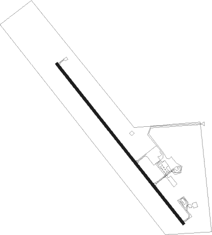
Runway info
| Runway 15 / 33 | ||
| length | 1464m (4803ft) | |
| bearing | 138° / 318° | |
| width | 18m (60ft) | |
| surface | concrete | |
Nearby beacons
| code | identifier | dist | bearing | frequency |
|---|---|---|---|---|
| GGF | GRANT NDB | 0.1 | 85° | 359 |
| SAE | SEARLE (OGALLALA) VOR/DME | 15 | 350° | 110.20 |
| CNP | CHAPPELL NDB | 35.1 | 286° | 383 |
| OKS | OSHKOSH NDB | 42.3 | 311° | 233 |
| HCT | HAYES CENTER VORTAC | 44.5 | 117° | 117.70 |
| LBF | NORTH PLATTE VOR/DME | 46 | 80° | 117.40 |
Instrument approach procedures
| runway | airway (heading) | route (dist, bearing) |
|---|---|---|
| RW15 | AHHUJ (138°) | AHHUJ 5600ft |
| RW15 | ENQIB (116°) | ENQIB 5600ft AHHUJ (5mi, 63°) 5600ft |
| RW15 | VOPUZ (165°) | VOPUZ 5600ft AHHUJ (5mi, 243°) 5600ft |
| RNAV | AHHUJ 5600ft EXKES (6mi, 138°) 5200ft CIDUS (2mi, 138°) 4520ft KGGF (4mi, 138°) 3462ft AYXOS (12mi, 139°) 5600ft AYXOS (turn) | |
| RW33 | AYXOS (319°) | AYXOS 5600ft |
| RW33 | EWLEP (297°) | EWLEP 5600ft AYXOS (5mi, 243°) 5600ft |
| RW33 | VOGXY (345°) | VOGXY 5600ft AYXOS (5mi, 63°) 5600ft |
| RNAV | AYXOS 5600ft IYAYU (6mi, 319°) 5200ft FOMUK (2mi, 318°) 4400ft KGGF (3mi, 318°) 3462ft AHHUJ (12mi, 318°) 5600ft AHHUJ (turn) |
Disclaimer
The information on this website is not for real aviation. Use this data with the X-Plane flight simulator only! Data taken with kind consent from X-Plane 12 source code and data files. Content is subject to change without notice.