Glasgow - Wokal Fld Glasgow Intl
Airport details
| Country | United States of America |
| State | Montana |
| Region | K1 |
| Airspace | Salt Lake City Ctr |
| Municipality | Valley County |
| Elevation | 2291ft (698m) |
| Timezone | GMT -7 |
| Coordinates | 48.21244, -106.61481 |
| Magnetic var | |
| Type | land |
| Available since | X-Plane v10.40 |
| ICAO code | KGGW |
| IATA code | GGW |
| FAA code | GGW |
Communication
| Wokal Fld Glasgow Intl ASOS | 135.175 |
| Wokal Fld Glasgow Intl CTAF/UNICOM | 122.800 |
Nearby Points of Interest:
Rundle Building
-Fort Peck Original Houses Historic District
-Garage and Fire Station
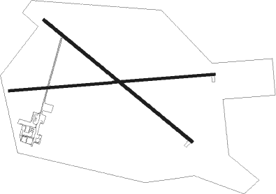
Runway info
Runway 12 / 30  | ||
| length | 1797m (5896ft) | |
| bearing | 123° / 303° | |
| width | 30m (100ft) | |
| surface | asphalt | |
| displ threshold | 273m (896ft) / 0m (0ft) | |
| blast zone | 0m (0ft) / 53m (174ft) | |
| Runway 8 / 26 | ||
| length | 1935m (6348ft) | |
| bearing | 90° / 270° | |
| width | 23m (75ft) | |
| surface | asphalt | |
| displ threshold | 416m (1365ft) / 0m (0ft) | |
| blast zone | 0m (0ft) / 20m (66ft) | |
Nearby beacons
| code | identifier | dist | bearing | frequency |
|---|---|---|---|---|
| GGW | GLASGOW VOR/DME | 0.4 | 285° | 113.90 |
Instrument approach procedures
| runway | airway (heading) | route (dist, bearing) |
|---|---|---|
| RW12 | GGW (105°) | GGW ATCHY (11mi, 303°) 5000ft ATCHY (turn) 5000ft |
| RW12 | KEEVR (97°) | KEEVR ATCHY (17mi, 82°) 5000ft |
| RNAV | ATCHY 5000ft CETAD (6mi, 123°) 4000ft GOSSI (4mi, 123°) 2860ft KGGW (2mi, 122°) 2331ft (6065mi, 114°) 2544ft EZCUP (6062mi, 294°) NEGAE (15mi, 89°) 6000ft NEGAE (turn) | |
| RW30 | GGW (105°) | GGW HUKAL (12mi, 122°) 5700ft HUKAL (turn) 5700ft |
| RW30 | JITAG (341°) | JITAG HUKAL (12mi, 29°) 5700ft |
| RW30 | NEGAE (277°) | NEGAE HUKAL (12mi, 253°) 5700ft |
| RNAV | HUKAL 5700ft EZCUP (6mi, 303°) 4000ft KGGW (6mi, 303°) 2328ft (6065mi, 114°) 2487ft CETAD (6068mi, 294°) KEEVR (21mi, 271°) 6500ft KEEVR (turn) |
Disclaimer
The information on this website is not for real aviation. Use this data with the X-Plane flight simulator only! Data taken with kind consent from X-Plane 12 source code and data files. Content is subject to change without notice.