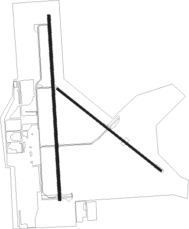
Gainesville - Gainesville Municipal
Airport details
| Country | United States of America |
| State | Texas |
| Region | K4 |
| Airspace | Ft Worth Ctr |
| Municipality | Gainesville |
| Elevation | 845ft (258m) |
| Timezone | GMT -6 |
| Coordinates | 33.65219, -97.19728 |
| Magnetic var | |
| Type | land |
| Available since | X-Plane v10.40 |
| ICAO code | KGLE |
| IATA code | GLE |
| FAA code | GLE |
Communication
Nearby Points of Interest:
Love County Jail and Sheriff's Residence
-Love County Courthouse
-Spanish Fort
-Paul Brown Federal Building and United States Courthouse
-Ardmore Carnegie Library
-Black Theater of Ardmore
-Ardmore Historic Commercial District

Nearby beacons
| code | identifier | dist | bearing | frequency |
|---|---|---|---|---|
| DT | PINCK (DENTON) NDB | 22.1 | 180° | 257 |
| DNI | DENISON (SHERMAN-DENISON) NDB | 28.3 | 72° | 341 |
| UKW | BOWIE VORTAC | 31.9 | 259° | 117.15 |
| ADM | ARDMORE VORTAC | 33.6 | 3° | 116.70 |
| AI | ADDMO (ARDMORE) NDB | 37.2 | 24° | 400 |
| URH | (DURANT) DME | 43.8 | 70° | 114.30 |
| FUZ | RANGER (DALLAS-FORT WORTH VORTAC | 45.8 | 179° | 115.70 |
| FT | MUFIN (FORT WORTH) NDB | 46.4 | 193° | 365 |
| TTT | MAVERICK VOR/DME | 47.6 | 169° | 113.10 |
| CVE | COWBOY (DALLAS) VOR/DME | 48 | 159° | 116.20 |
| BYP | BONHAM VORTAC | 48.6 | 97° | 114.60 |
| NFW | NAS JRB FORT WORTH (FT WO TACAN | 54.2 | 195° | 108.70 |
| DUC | DME | 56.7 | 315° | 111 |
| PQF | MESQUITE NDB | 60.7 | 142° | 248 |
| MQP | MILLSAP (MINERAL WELLS) VORTAC | 68.6 | 221° | 117.70 |
Instrument approach procedures
| runway | airway (heading) | route (dist, bearing) |
|---|---|---|
| RW18 | ACKME (112°) | ACKME WALKI (20mi, 84°) 3000ft ILOPY (5mi, 116°) 3000ft |
| RW18 | ADM (183°) | ADM ILOPY (22mi, 184°) 3000ft |
| RW18 | ILOPY (181°) | ILOPY 3000ft |
| RW18 | TEYUS (248°) | TEYUS WALON (21mi, 273°) 3000ft ILOPY (5mi, 244°) 3000ft |
| RNAV | ILOPY 3000ft LUTNY (6mi, 181°) 2500ft GODNE (3mi, 181°) 1620ft KGLE (7804mi, 106°) 890ft (7851mi, 284°) 1300ft ILOPY (5764mi, 289°) 3000ft ILOPY (turn) | |
| RW36 | ILIAC (2°) | ILIAC 6000ft ILIAC (turn) 3000ft |
| RW36 | WATEN (37°) | WATEN ILIAC (7mi, 91°) 3000ft |
| RW36 | WAWLS (326°) | WAWLS ILIAC (7mi, 271°) 3000ft |
| RNAV | ILIAC 3000ft LANVE (6mi, 1°) 2500ft GOOPY (3mi, 1°) 1420ft KGLE (7802mi, 106°) 837ft (7851mi, 284°) 1068ft ILOPY (5764mi, 289°) 3000ft ILOPY (turn) |
Disclaimer
The information on this website is not for real aviation. Use this data with the X-Plane flight simulator only! Data taken with kind consent from X-Plane 12 source code and data files. Content is subject to change without notice.