Seminole - Gaines County
Airport details
| Country | United States of America |
| State | Texas |
| Region | K4 |
| Airspace | Ft Worth Ctr |
| Municipality | Gaines County |
| Elevation | 3313ft (1010m) |
| Timezone | GMT -6 |
| Coordinates | 32.67533, -102.65266 |
| Magnetic var | |
| Type | land |
| Available since | X-Plane v10.40 |
| ICAO code | KGNC |
| IATA code | n/a |
| FAA code | GNC |
Communication
| Gaines County AWOS 3 | 118.075 |
| Gaines County CTAF/UNICOM | 122.800 |
| Gaines County FORT WORTH CNTR | 132.600 |
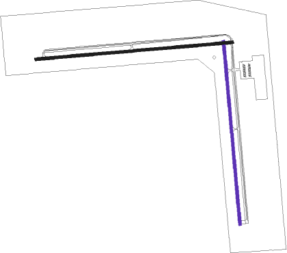
Runway info
Runway 8 / 26  | ||
| length | 1642m (5387ft) | |
| bearing | 90° / 270° | |
| width | 23m (75ft) | |
| surface | asphalt | |
| Runway 17 / 35 | ||
| length | 1526m (5007ft) | |
| bearing | 179° / 359° | |
| width | 23m (75ft) | |
| surface | asphalt | |
Nearby beacons
| code | identifier | dist | bearing | frequency |
|---|---|---|---|---|
| HOB | HOBBS VORTAC | 31.2 | 267° | 111 |
| MA | FARLY (MIDLAND) NDB | 44.4 | 155° | 326 |
| MAF | MIDLAND VORTAC | 46.3 | 145° | 114.80 |
| INK | WINK VORTAC | 56.6 | 216° | 112.10 |
Instrument approach procedures
| runway | airway (heading) | route (dist, bearing) |
|---|---|---|
| RW35 | ARIWU (358°) | ARIWU 6000ft |
| RW35 | HOZGI (331°) | HOZGI 6000ft ARIWU (5mi, 269°) 6000ft |
| RW35 | YOUDO (25°) | YOUDO 6000ft ARIWU (5mi, 89°) 6000ft |
| RNAV | ARIWU 6000ft APQIT (6mi, 359°) 4900ft EPHOC (3mi, 359°) 3940ft KGNC (3mi, 354°) 3305ft OSHWA (9mi, 1°) 6000ft OSHWA (turn) |
Disclaimer
The information on this website is not for real aviation. Use this data with the X-Plane flight simulator only! Data taken with kind consent from X-Plane 12 source code and data files. Content is subject to change without notice.