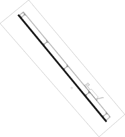
Grants - Grants Milan Muni
Airport details
| Country | United States of America |
| State | New Mexico |
| Region | K2 |
| Airspace | Albuquerque Ctr |
| Municipality | Grants |
| Elevation | 6537ft (1992m) |
| Timezone | GMT -7 |
| Coordinates | 35.16728, -107.90205 |
| Magnetic var | |
| Type | land |
| Available since | X-Plane v10.40 |
| ICAO code | KGNT |
| IATA code | GNT |
| FAA code | GNT |
Communication
| Grants Milan Muni CTAF/UNICOM | 122.800 |
| Grants Milan Muni TOWER | 122.800 |
Nearby Points of Interest:
Charley's Automotive Service
-Bowlin's Old Crater Trading Post
-Acoma Curio Shop
Runway info
| Runway 13 / 31 | ||
| length | 2188m (7178ft) | |
| bearing | 139° / 319° | |
| width | 23m (75ft) | |
| surface | asphalt | |
Nearby beacons
| code | identifier | dist | bearing | frequency |
|---|---|---|---|---|
| GUP | GALLUP VORTAC | 51 | 288° | 115.10 |
Instrument approach procedures
| runway | airway (heading) | route (dist, bearing) |
|---|---|---|
| RW13 | BUYSA (142°) | BUYSA ACELI (6mi, 138°) 10100ft NONDE (5mi, 138°) 9500ft DEGCA (3mi, 149°) 9100ft |
| RW13 | CROIN (218°) | CROIN ATUCU (10mi, 251°) 10300ft NONDE (10mi, 251°) 9500ft DEGCA (3mi, 149°) 9100ft |
| RNAV | DEGCA 9100ft EPACU (3mi, 149°) 8600ft KGNT (7mi, 142°) 6577ft (6279mi, 108°) 8000ft CROIN (6264mi, 288°) 10400ft CROIN (turn) | |
| RW31 | CARTY (294°) | CARTY WOKAR (8mi, 254°) 10000ft CINAN (3mi, 319°) 9700ft |
| RW31 | EMUXE (132°) | EMUXE WOKAR (26mi, 136°) 11000ft WOKAR (turn) 10000ft CINAN (3mi, 319°) 9700ft |
| RW31 | TAPDE (70°) | TAPDE WOKAR (31mi, 92°) 11000ft WOKAR (turn) 10000ft CINAN (3mi, 319°) 9700ft |
| RNAV | CINAN 9700ft EYEDI (3mi, 319°) 9000ft YUDUN (5mi, 319°) 7360ft KGNT (3mi, 318°) 6558ft (6279mi, 108°) 6937ft ZUROS (6281mi, 288°) EMUXE (7mi, 308°) 11000ft EMUXE (turn) |
Disclaimer
The information on this website is not for real aviation. Use this data with the X-Plane flight simulator only! Data taken with kind consent from X-Plane 12 source code and data files. Content is subject to change without notice.
