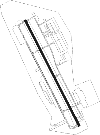
Fort Hood/killeen - Robert Gray Aaf
Airport details
| Country | United States of America |
| State | Texas |
| Region | K4 |
| Airspace | Houston Oceanic Ctr |
| Municipality | Bell County |
| Elevation | 1015ft (309m) |
| Timezone | GMT -6 |
| Coordinates | 31.08137, -97.83284 |
| Magnetic var | |
| Type | land |
| Available since | X-Plane v10.40 |
| ICAO code | KGRK |
| IATA code | GRK |
| FAA code | GRK |
Communication
| ROBERT GRAY AAF Clearance DEL | 121.800 |
| ROBERT GRAY AAF GRAY Ground Control | 126.200 |
| ROBERT GRAY AAF Tower | 120.750 |
| ROBERT GRAY AAF GRAY Approach/Departure | 120.075 |
Approach frequencies
| ILS-cat-I | RW33 | 109.35 | 18.00mi |
| ILS-cat-I | RW15 | 111.1 | 18.00mi |
| 3° GS | RW33 | 109.35 | 18.00mi |
| 3° GS | RW15 | 111.1 | 18.00mi |
Nearby Points of Interest:
Barton House
-George Washington Baines House
-First Christian Church Parsonage
-V. R. Means House
-Coryell County Courthouse
-Bartlett Commercial Historic District
-Georgetown Light and Water Works
-Williamson County Courthouse Historic District
-Burnet County Courthouse
-Hugh Roy and Lillie Cullen Building
-Harper-Chesser House
-Belford Historic District
-Hutto Commercial Historic District
Nearby beacons
| code | identifier | dist | bearing | frequency |
|---|---|---|---|---|
| GRK | GRAY (FORT HOOD) VOR/DME | 3 | 159° | 111.80 |
| IL | IRESH (KILLEEN) NDB | 7.2 | 115° | 278 |
| AGJ | GOOCH SPRINGS VORTAC | 17 | 289° | 112.50 |
| TPL | DME | 22.3 | 73° | 110.40 |
| CWK | CENTEX VORTAC | 45 | 157° | 112.80 |
| ACT | WACO VORTAC | 45.3 | 44° | 115.30 |
| ROB | ROBINSON (WACO) NDB | 46.6 | 61° | 400 |
| LLO | LLANO VORTAC | 52 | 253° | 108.20 |
| STV | STONEWALL VORTAC | 69.2 | 225° | 113.80 |
Departure and arrival routes
| Transition altitude | 18000ft |
| Transition level | 18000ft |
| SID end points | distance | outbound heading | |
|---|---|---|---|
| ALL | |||
| CONRA2 | 96mi | 89° | |
| RW15 | |||
| LAMPS7 | 69mi | 225° | |
| RW33 | |||
| LAMPS7 | 69mi | 225° | |
Instrument approach procedures
| runway | airway (heading) | route (dist, bearing) |
|---|---|---|
| RW15 | AGJ (109°) | AGJ OKEST (12mi, 70°) 3000ft |
| RW15 | TENAT (141°) | TENAT OKEST (11mi, 128°) 3000ft |
| RNAV | OKEST 3000ft NABCI (6mi, 154°) 2900ft KGRK (6mi, 153°) 1068ft (5808mi, 108°) 2000ft AGJ (5823mi, 288°) 3000ft AGJ (turn) | |
| RW33 | KALLA (34°) | KALLA ROYOB (15mi, 62°) 4200ft TIXFO (5mi, 70°) 3000ft |
| RW33 | REDDA (293°) | REDDA HINSI (12mi, 272°) 3000ft TIXFO (5mi, 250°) 3000ft |
| RNAV | TIXFO 3000ft RUBUF (6mi, 334°) 2600ft KGRK (7mi, 336°) 1024ft (5808mi, 108°) 1195ft FIXUL (5808mi, 288°) AGJ (16mi, 284°) 3000ft AGJ (turn) |
Disclaimer
The information on this website is not for real aviation. Use this data with the X-Plane flight simulator only! Data taken with kind consent from X-Plane 12 source code and data files. Content is subject to change without notice.