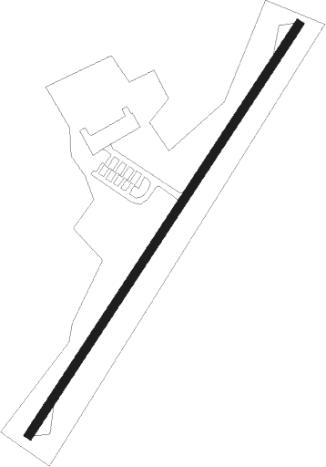
Gordonsville - Gordonsville Muni
Airport details
| Country | United States of America |
| State | Virginia |
| Region | K6 |
| Airspace | Washington Ctr |
| Municipality | Orange County |
| Elevation | 454ft (138m) |
| Timezone | GMT -5 |
| Coordinates | 38.15600, -78.16578 |
| Magnetic var | |
| Type | land |
| Available since | X-Plane v10.40 |
| ICAO code | KGVE |
| IATA code | n/a |
| FAA code | GVE |
Communication
| Gordonsville Muni AWOS-3 | 120.225 |
| Gordonsville Muni CTAF/UNICOM | 123.000 |
Nearby Points of Interest:
Black Meadow
-Rocklands (Gordonsville, Virginia)
-Frascati
-Greenwood (Orange, Virginia)
-Williston (Orange, Virginia)
-Boswell's Tavern
-Mayhurst
-Berry Hill (Orange, Virginia)
-Chestnut Hill (Orange, Virginia)
-St. Thomas Church (Orange, Virginia)
-Orange Commercial Historic District
-Orange County Courthouse
-Ballard-Marshall House
-Rebel Hall
-Orange High School
-Westend
-Ionia
-Willow Grove (Madison Mills, Virginia)
-Cobham Park (Virginia)
-Castle Hill (Virginia)
-Bloomsbury
-Greenway (Madison Mills, Virginia)
-Green Springs National Historic Landmark District
-Grelen
-Southwest Mountains Rural Historic District
Nearby beacons
| code | identifier | dist | bearing | frequency |
|---|---|---|---|---|
| GVE | GORDONSVILLE VORTAC | 8.5 | 175° | 115.60 |
| MSQ | NAILR (CULPEPER) NDB | 21.7 | 41° | 351 |
| CSN | CASANOVA VORTAC | 32.3 | 32° | 116.30 |
| EZF | SHANNON (FREDERICKSBURG) NDB | 34.3 | 81° | 237 |
| LUA | CAVERNS (LURAY) NDB | 35.6 | 331° | 245 |
| SH | STAUT(STAUNTON-WAYNESBORO-HARR NDB | 37.4 | 273° | 375 |
| BRV | BROOKE VORTAC | 39.8 | 77° | 114.50 |
| FAK | FLAT ROCK VORTAC | 40.9 | 152° | 113.30 |
| LDN | LINDEN VORTAC | 41.9 | 357° | 114.30 |
| MOL | MONTEBELLO VOR/DME | 47 | 255° | 115.30 |
| RIC | RICHMOND VORTAC | 56.1 | 128° | 114.10 |
| AML | ARMEL (WASH.,D.C.) VOR/DME | 57.1 | 42° | 113.50 |
Instrument approach procedures
| runway | airway (heading) | route (dist, bearing) |
|---|---|---|
| RWNVA | DROPN (65°) | DROPN AFLAT (5mi, 104°) 3000ft |
| RWNVA | TURCO (30°) | TURCO AFLAT (7mi, 8°) 3000ft |
| RNAV | AFLAT 3000ft OSABE (5mi, 45°) 2000ft KGVE (5mi, 45°) 493ft (4848mi, 116°) 854ft TURCO (4853mi, 296°) 3300ft TURCO (turn) | |
| RWNVB | HOODE (177°) | HOODE KALEC (7mi, 139°) 3200ft BUTAY (5mi, 142°) 2600ft |
| RWNVB | MAZKO (245°) | MAZKO BUTAY (5mi, 284°) 2600ft |
| RNAV | BUTAY 2600ft HAKON (5mi, 225°) 2000ft KGVE (5mi, 225°) 484ft (4848mi, 116°) 854ft MAZKO (4838mi, 296°) 3000ft MAZKO (turn) |
Disclaimer
The information on this website is not for real aviation. Use this data with the X-Plane flight simulator only! Data taken with kind consent from X-Plane 12 source code and data files. Content is subject to change without notice.